What is recorded here
Cropmark of square-shaped area (dims. c. 26m N-S x 26m E-W) defined by a ditch visible on Google Earth photograph taken 16/04/2020. Area annotated 'Lisleighmore' on 1840 ed. OSi 6-inch map.
See attached Google Earth orthoimages
Compiled by: Caimin O'Brien based on details provided by Jean-Charles Caillère
Date of upload: 14 January 2022
The monument record does not grant public access. Check the route and ask the landowner before entering private land.
- What survives
- Recorded monument
Places near here
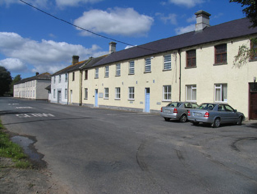 Borrisokane Courthouse and Community Collegeworkhouse · 1074 yd
 Eminiska Househouse · 1330 yd
 BorrisokaneHistoric town · 1621 yd
 Enclosure in CrottaEnclosure · 1.1 mi
 Drumnamahane CastleCastle · 1.2 mi
 Borris WoodWood · 1.7 mi
 Ballyfinboy Castle (in Ruins)Castle, tower house · 1.9 mi
 Knockanacree WoodForest · 3.8 mi
 MacDonagh HouseMemorial · 4.5 mi
 Thomas MacDonagh Heritage CentreMuseum · 4.5 mi
 Knigh HillMountain / peak · 6.9 mi
 James Devaney MemorialMemorial · 7.0 mi