What is recorded here
In improved pasture, on a SW-facing slope. The levelled remains of a rectangular area (dims. 26m NE-SW; c. 20m NW-SE) defined by a barely traceable bank on the NE and SW sides and a short return from each of these sides to form the SE side. These short returns peter out toward centre of SE side. The NW side is defined by a deep land drain and hedge beyond this. The interior slopes down gently to the SW and the monument is incorporated into the field as pasture. It is depicted on the 2nd (1903-04) ed. OS 6-inch map as a substantial rectangular enclosure (overall dims. c. 70m NE-SW; c. 52m NW-SE) enclosed by drain to SW and NW and by field boundary to NE.
Compiled by: Jean Farrelly
Date of upload: 26 August 2011
The monument record does not grant public access. Check the route and ask the landowner before entering private land.
- What survives
- Recorded monument
Places near here
 Enclosure in Jamestown (modeshil Par.)Enclosure · 983 yd
 Crannlaght TreeRitual site, holy tree/bush · 1342 yd
 Modeshil Church (in ruins)Church · 1346 yd
 Modeshil Castle (in ruins)Castle · 1379 yd
 Saint Michael's Catholic Churchchurch/chapel · 1.9 mi
 St. Johns Monastery (in ruins)Castle, hall-house · 2.0 mi
 Fenane WoodForest · 2.1 mi
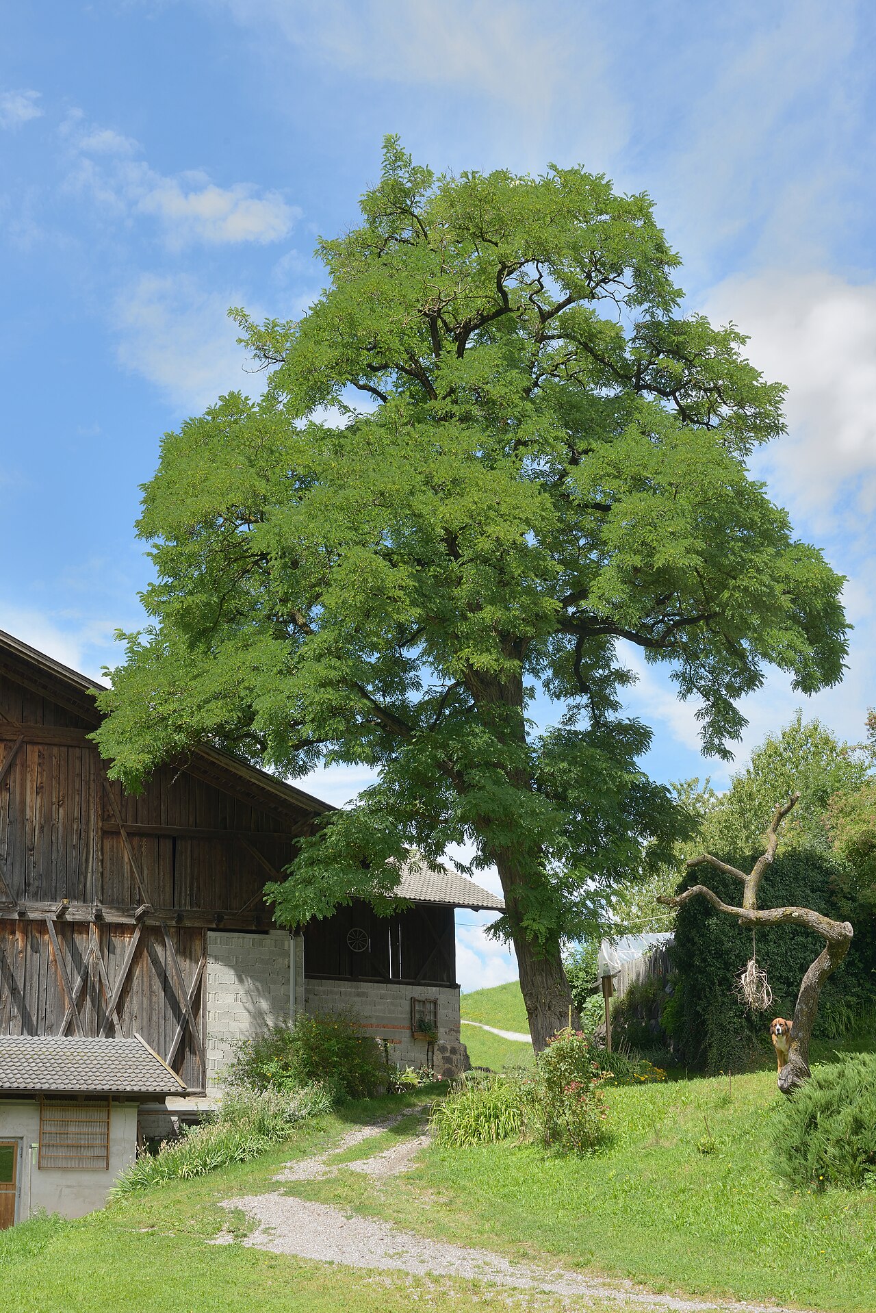 Black LocustBlack Locust · 2.3 mi
 Edmund Rice Heritage CentreMuseum · 3.3 mi
 Callan Co-operative Agricultural & Dairy Society Ltd.Memorial · 3.4 mi
 Green StreetVisitor information · 3.4 mi
 Edmund Rice MemorialMemorial · 3.4 mi