What is recorded here
Near the top of a slight N-facing slope in gently undulating pasture. Rectangular area (dims. 36m N-S; 38m E-W) defined by a substantial flat-topped earthen bank (overall Wth 4.4-4.8m; Wth at top 1.6m; int. H 0.5m; ext. H 1.3-1.8 m) with a wide flat-bottomed external fosse (Wth at base 4m; overall Wth 4.7-5.1m; D 0.7-1.1m). The bank has been increased in height (int. H 1.5m) and the fosse infilled NE-SE where a N-S orientated lane that abuts the E side of the moated site. The outer edge of the fosse has been incorporated into a modern N-S orientated field boundary. A spring well is located centrally in the base of the fosse at the SW corner. The well (dims. 0.6m by 0.6m; D 0.4m) is roughly rectangular and lined on the W, S and E sides by drystone walls of rubble sandstone. An irregular muddy outflow channel extends N along the base of the fosse. A break (Wth 5m) in the bank at the W end of the N side marks the position of the original entrance. A modern stone causeway (Wth 5m) extends E-W from the entrance across the fosse at the NW. The interior slopes slightly facing N, is dry and clear of overgrowth. A slightly raised roughly ovoid area (dims. 12m N-S; 10m E-W) located on the SW side of the interior and ringed with mature ash trees is of uncertain significance.
Compiled by: Jean Farrelly
Date of upload: 26 August 2011
The monument record does not grant public access. Check the route and ask the landowner before entering private land.
- What survives
- Recorded monument
Places near here
 Fulacht fia in GortnabarnanFulacht fia · 467 yd
 Ladys WellHoly well · 568 yd
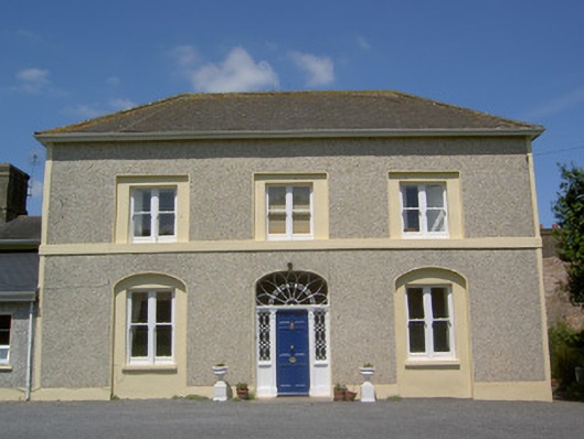 Russelstown Housecountry house · 810 yd
 RoadRoad, unclassified togher · 966 yd
 RathduffCastle, ringwork · 1.2 mi
 Site of Cullen CastleCastle, unclassified · 1.3 mi
 Oola HillMountain / peak · 1.5 mi
 ToberagaddySpring · 5.2 mi
 The RockViewpoint · 6.0 mi
 Carn (site of)Cairn, burial cairn · 6.5 mi
 St Patrick's WellSpring · 8.7 mi
 Flat cemetery in Knockainy WestFlat cemetery · 9.3 mi