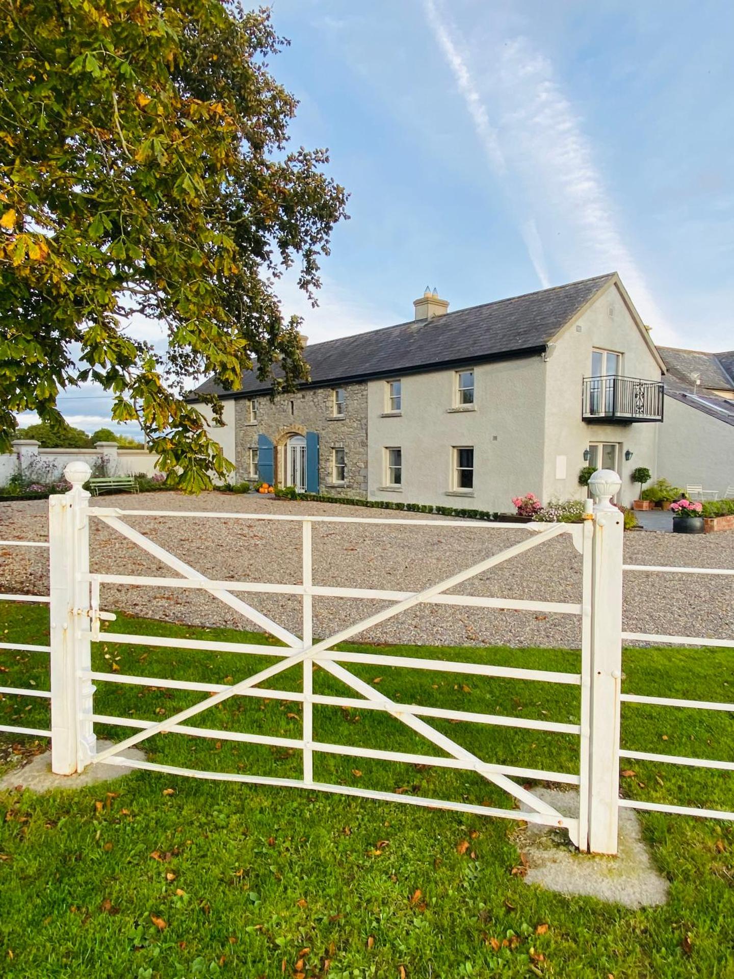
What is recorded here
On level ground at the base of a slight N-facing slope, 10m to the S of an E-W flowing stream, in gently undulating wet pasture. Crescent-shaped mound (dims. 14m ENE-WSW; 5.5m NNW-ESE; H 0.7m) of earth and stone with the opening (Wth 12m) facing SSE. No trace of a trough is visible. A small spread of what appears to be heat shattered sandstone is visible on the summit of the mound.
Compiled by: Jean Farrelly
Date of upload: 26 August 2011
The monument record does not grant public access. Check the route and ask the landowner before entering private land.
- What survives
- Recorded monument
Places near here
 Ladys WellHoly well · 107 yd
 RoadRoad, unclassified togher · 571 yd
 Enclosure in Milltown (cullen Par.)Enclosure · 885 yd
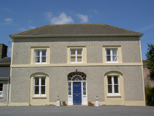 Russelstown Housecountry house · 1033 yd
 RathduffCastle, ringwork · 1.1 mi
 Site of Cullen CastleCastle, unclassified · 1.1 mi
 Oola HillMountain / peak · 1.2 mi
 ToberagaddySpring · 5.0 mi
 KnockseefinMountain / peak · 6.0 mi
 St Patrick's WellSpring · 8.8 mi
 Flat cemetery in Knockainy WestFlat cemetery · 9.2 mi
 BarrowBarrow, ring-barrow · 1034 yd
Other information
Photo: Credit not shown in the picture search · Rights wording not checked; contact us if this picture should be removed