What is recorded here
The cropmark of a possible ringbarrow is evident on Google Earth aerial photographs, at this location.
Compiled by: Denis Power
Date of upload: 4 September 2013
The monument record does not grant public access. Check the route and ask the landowner before entering private land.
- What survives
- Recorded monument
Places near here
 Field system in Shanaclogh EastField system · 705 yd
 Shanaclough Househouse · 1010 yd
 Ladys WellHoly well · 1030 yd
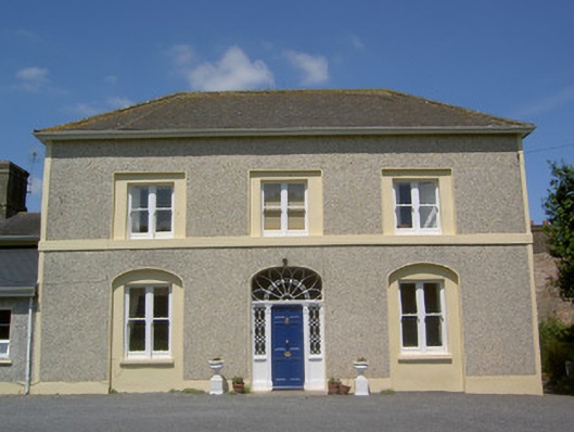 Russelstown Housecountry house · 1148 yd
 Oola Castle (in ruins)Castle, tower house · 1206 yd
 Oola HillMountain / peak · 1624 yd
 CastleCastle, ringwork · 1701 yd
 ToberagaddySpring · 4.9 mi
 St. Patrick's WellSpring · 6.8 mi
 Kilteely HillMountain / peak · 6.9 mi
 Flat cemetery in Knockainy WestFlat cemetery · 9.7 mi
 Fulacht fia in GortnabarnanFulacht fia · 1034 yd
Other information
Photo: Credit not shown in the picture search · Rights wording not checked; contact us if this picture should be removed