What is recorded here
That is the largest rectangular moated enclosure in the Kildare inventory. The east edge is not a built wall but a living ridge, as if the earth completed the shape when human hands stopped. The west, south and north edges remain sharp enough for satellites to read, while the missing castle and its people have dissolved into pasture. Size and asymmetry, not legend, are what the site still speaks.
Aerial photograph (CUCAP AYL 48) shows a cropmark of the S, W and N sides of a large rectangular enclosure consisting of an earthen bank with an external fosse (dims. of interior, c 100m x c 50m). Cropmarks of the bank and fosse are visible at ground level. Also visible on a 1990 G. Barrett aerial photo (GB90.CL.33) Situated in undulating pasture land, with a ridge which is possibly natural, closing off the site at the E. A possible castle site (No.**) lies to the N.
Date of upload: 8 September 2016
The monument record does not grant public access. Check the route and ask the landowner before entering private land.
- What survives
- Recorded monument
Places near here
 Enclosure in GorteengroneEnclosure · 189 yd
 Gorteen MoundCastle, unclassified · 218 yd
 Church (in Ruins)Church · 1220 yd
 Enclosure in BallaghmoonEnclosure · 1294 yd
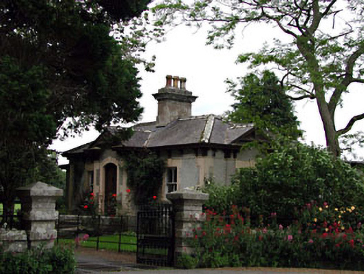 Prumplestown Housegate lodge · 1.1 mi
 Oak Park Forest ParkWood · 1.4 mi
 European YewEuropean Yew · 1.7 mi
 ProclamationMemorial · 2.5 mi
 Franciscan FriaryHeritage attraction · 2.6 mi
 Brownshill Portal TombVisitor information · 2.7 mi
 OutlinedCastle, unclassified · 3.0 mi
 Lorcán Ó TuathailMemorial · 3.9 mi