
What is recorded here
From the National Monuments Service (Archaeological Survey of Ireland) record ME023-011
Places near here
Photo credits
- Maker not stated on source page, www.irishamericanmom.com
- Photographer not named on source page, www.westmeathexaminer.ie
- National Inventory of Architectural Heritage
- Willow, Wikimedia Commons · CC BY 2.5
- P L Chadwick, Geograph · CC BY-SA 2.0
- Maker not stated on source page, www.dreamstime.com
- Maker not stated on source page, en.wikipedia.org
- Sitomon, Wikimedia Commons · CC BY-SA 2.0
- Maker not stated on source page, www.irishcentral.com
- Maker not stated on source page, getnofilter.com
- Maker not stated on source page, in.pinterest.com
 Fairy fort / earthen ringfort in GalboystownFairy fort / earthen ringfort · 331 yd
Explorer Tom Fairy fort / earthen ringfort in Galboystown has two entrances because it couldn't decide which way was out. The local…
 St. Paul's GAA pitchGAA ground · 1405 yd
 water pump1518 yd
Explorer Tom That water pump in Clonmellon makes a weird groaning sound at night that locals swear is the ghost of a thirsty horse…
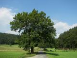 European ash1599 yd
Explorer Tom European ash in County Meath made a New Year’s resolution to stop dropping branches on cars but has failed…
 market place1.0 mi
Explorer Tom Market place in Clonmellon is famous for being a market place that never actually had a market house, which is a bit…
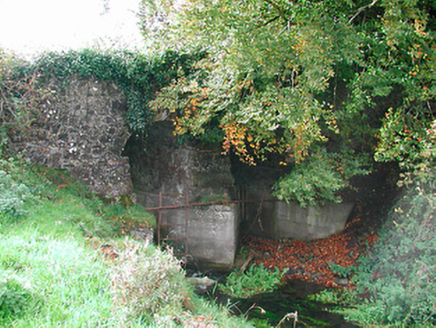 Snipe's BridgeBridge · 1.0 mi
Explorer Tom Snipe's Bridge near Newtown is currently run by a very aggressive terrier who thinks he’s the bridge itself and demands…
 Clonmellon GraveyardGraveyard · 1.0 mi
Explorer Tom Clonmellon Graveyard in County Westmeath claims its unlikely celebrity friend was a famous pirate who just needed a…
 Fairy fort / earthen ringfort in LoughandergFairy fort / earthen ringfort · 1.1 mi
Explorer Tom Fairy fort / earthen ringfort in Loughanderg would teach history by just sitting there and saying nothing at all. It…
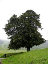 European Yew1.9 mi
Explorer Tom European Yew in County Westmeath has a family tree that is mostly made up, which fits perfectly with how I tell my…
 Dervotstown CastleCastle, tower house · 2.4 mi
Explorer Tom Dervotstown Castle is gone, but its spirit lives on in a very confused scarecrow that thinks it's still teaching…
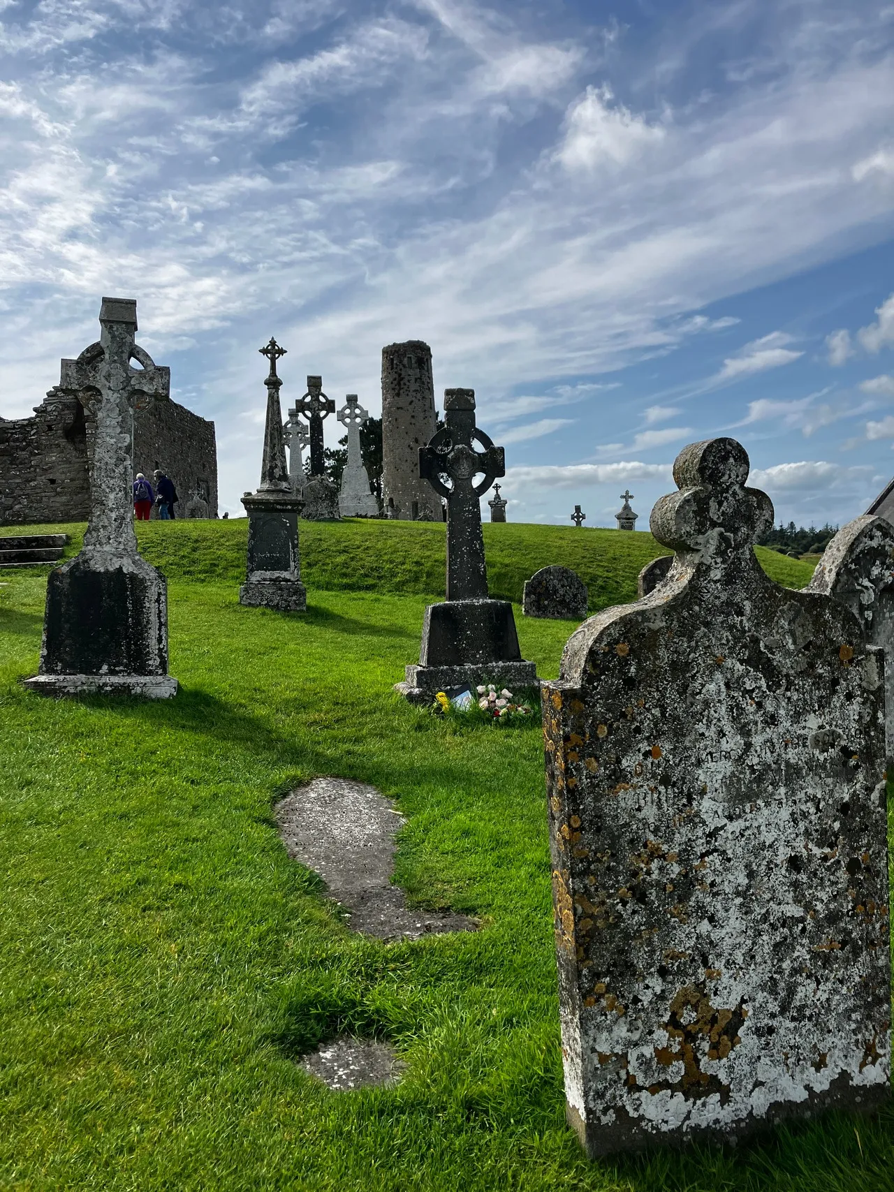 Clonarney CemeteryCemetery · 2.4 mi
Explorer Tom Clonarney Cemetery in County Westmeath does some weird things when nobody is looking, like rearranging its own shadows…
 CastleCastle, unclassified · 2.5 mi
Explorer Tom Clonarney Castle is a tower house that’s been in repair since 1655 and still hasn’t fixed its roof. It’s probably…
More archaeology and monuments in County Meath · All of County Meath

What do you know about this place?Tap to add a comment or ask a question