What is recorded here
Clonarney Castle vanished before human memory, leaving only a inked tower marked in repair on a 1655 survey. That sudden absence is not a gap in evidence but a shape of the world: a place so familiar it stopped needing proof. The land keeps what it wants hidden, and memory follows the same rule.
The precise location of Clonarney Castle has not been identified. The castle is depicted on the 1655 Down Survey map of Clonarney parish (NLI MS 723-4) where it is depicted as a tower hosue type castle annotated as being 'in repaire'. on this map the castle is depicted in the N quadrant of the townland. The castle is not indicated on any edition of the OS 6-inch maps. The terrier of the Down Survey parish map recorded that in Clonarney there is 'a Castle in repaire' which belonged to William Moore an Irish papist (ibid.). The SMR office suggested that a group of buildings to the N of Clonarney Church and graveyard may have been the location for this castle as it was located in the same general area as the Down Survey castle. A thatched house and farmyard are located in the area marked on the RMP map. There is no visible trace of a castle or earthworks associated with a castle in the vicinity of the thatched house. There is no cartographic, documentary or field survey evidence to suggest that this thatched house was built or located on the site of Clonarney Castle.
Compiled by: Caimin O'Brien
Date of upload: 3 October 2016
Clonarney Castle, depicted on the 1655 Down Survey map as a tower house, was likely built by a local Gaelic or Anglo-Irish lord in the 15th or 16th century. Its inclusion in early maps highlights its role as a regional stronghold in a period of political and territorial significance in Ulster.
This remains an important historical record, but the official description says the monument is no longer visible or has been destroyed. The monument record does not grant public access. Check the route and ask the landowner before entering private land.
- What survives
- No visible remains or recorded as destroyed
Places near here
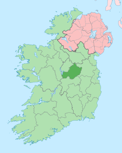 Not idnicatedEcclesiastical enclosure · 258 yd
 Clonarney Church (in Ruins)Castle, tower house · 262 yd
 Rosmead Housecountry house · 846 yd
 Settlement desertedSettlement deserted, medieval · 1553 yd
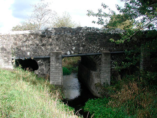 Graulty's Bridgebridge · 1.1 mi
 Bawn in ArcherstownBawn · 1.7 mi
 European YewEuropean Yew · 2.1 mi
 Persian WalnutPersian Walnut · 2.1 mi
 Kells HillMountain / peak · 4.1 mi
 The Sloe HillMountain / peak · 4.1 mi
 LoughcrewMegalithic tomb cemetery · 7.7 mi
 C11Named rock · 7.9 mi