What is recorded here
In level marshy pasture. Sub-rectangular area (36m NNW-SSE; 42m WSW-ENE) enclosed by earthen bank (int. H 0.65m; ext. H 1.2m) with external fosse (D 1m; Wth 4m); corners noticeable rounded in plan. Bank is tree lined. Fosse covered by overgrowth to E and SSW and generally waterlogged except along SSE side where it is shallow and dry; immediately outside latter is farm passage whose construction may have effected fosse on this side. Causewayed entrance (Wth 2.6m) near E end of SSE side. Interior level and under pasture; just inside enclosing bank on SSE side two shallow ovoid marshy depressions: 6m x 4m, D 0.4m; 8m x 6m, D 0.2m.
Compiled by: Denis Power
Date of upload: 26 August 2011
The monument record does not grant public access. Check the route and ask the landowner before entering private land.
- What survives
- Recorded monument
Places near here
 Fort Househouse · 956 yd
 Enclosure in Fort MiddleEnclosure · 961 yd
 Enclosure in Foxhall EastEnclosure · 1002 yd
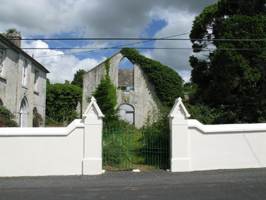 Colmanswell Catholic Churchchurch/chapel · 1718 yd
 Bawn in CregganeBawn · 1.6 mi
 Eagle Mount MoteCastle, motte · 2.8 mi
 Saint Derivla's WellSpring · 3.1 mi
 Holy Cross CemeteryGraveyard · 3.4 mi
 Our Lady's WellSpring · 4.4 mi
 KnockfeerinaMountain / peak · 6.7 mi
 National Co-op MuseumMuseum · 8.6 mi
 Grave YardGraveyard · 1.0 mi