
What is recorded here
On W side of road. immediately N of holy well (LI046-023001-). Roughly rectangular graveyard (c. 50m NW-SE; c. 40m SW-NE) enclosed by stone wall on NE side with entrance gate and style, by concrete wall on NE side beyond which is recent extension to graveyard, by stream to SW and by field boundary to NW. Just W-of-centre is ruin of Cloncoura parish church (LI046-023002-). Most recent burials to N and NW of church ruin, with older headstones E and SE of ruin, though this area overgrown by brambles and ivy; earliest headstone noted dated 1801.
Compiled by: Denis Power
Date of upload: 26 August 2011
The monument record does not grant public access. Check the route and ask the landowner before entering private land.
- What survives
- Recorded monument
Places near here
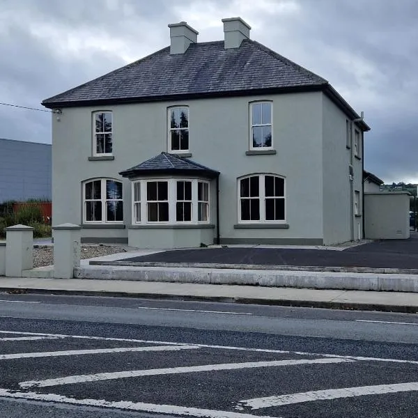 St. Colmans WellHoly well · 69 yd
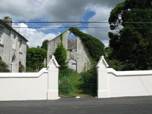 Colmanswell Catholic Churchchurch/chapel · 134 yd
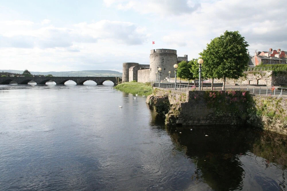 Fulacht fia in Gortroe (connello Lower By.)Fulacht fia · 725 yd
 Fort Househouse · 991 yd
 Bawn in CregganeBawn · 1.6 mi
 TumulusCastle, motte · 2.2 mi
 Holy Cross CemeteryGraveyard · 2.7 mi
 Saint Derivla's WellSpring · 3.5 mi
 ToberSpring · 4.5 mi
 BallinaboolaVisitor information · 6.3 mi
 KnockfeerinaMountain / peak · 7.6 mi
 National Co-op MuseumMuseum · 8.1 mi
Other information
Photo: Credit not shown in the picture search · Rights wording not checked; contact us if this picture should be removed