
What is recorded here
On level, low-lying marshy pasture. Roughly square area (24.8m NW-SE) enclosed by earthen bank with shallow external fosse (D 0.25m). Bank (int. H 0.4m; ext. H 1m) , heavily masked by vegetation cover NW->E, best preserved SSW->W. Corner at W is much denuded and possibly quarried out in external bank face. Fosse (Wth 1.2m) best preserved SSW->W. Level marshy interior covered with briars over N third.
Compiled by: Denis Power
Date of upload: 26 August 2011
The monument record does not grant public access. Check the route and ask the landowner before entering private land.
- What survives
- Recorded monument
Places near here
 Fort Househouse · 1680 yd
 Enclosure in Fort MiddleEnclosure · 1.1 mi
 Settlement desertedSettlement deserted, medieval · 1.1 mi
 kilnkiln · 1.1 mi
 Bawn in CregganeBawn · 1.1 mi
 Eagle Mount MoteCastle, motte · 2.4 mi
 Holy Cross CemeteryGraveyard · 3.2 mi
 Saint Derivla's WellSpring · 3.7 mi
 ToberSpring · 4.3 mi
 KnockfeerinaMountain / peak · 7.0 mi
 National Co-op MuseumMuseum · 9.1 mi
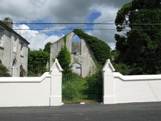 Colmanswell Catholic Churchchurch/chapel · 1.2 mi
Other information
Photo: Credit not shown in the picture search · Rights wording not checked; contact us if this picture should be removed