What is recorded here
Enclosure described in 1942-3 as following; 'Only a portion of this structure now remains and it is not clear what the original shape of the monument The remains consist of a bank and fosse. The bank has two arms which meet one another at a point making an angle somewhat less than a right angle. The eastern arm is curved and the other is straight. This suggests that it may have been a D-shaped structure. The east arm is 160' [49m] long and the other 150' [46m]. The fosse is on the outside. It is situate in good low-land. The large field surrounding the monument is intersected by old fences, but it is not possible to say if they are ancient or not' (O'Kelly 1942-3, 227). Partial cropmark of possible square-shaped earthwork visible today on Digital Globe aerial photographs.
Compiled by: Caimin O'Brien
Date of upload: 2 March 2020
The monument record does not grant public access. Check the route and ask the landowner before entering private land.
- What survives
- Recorded monument
Places near here
 Fedamore Housecountry house · 329 yd
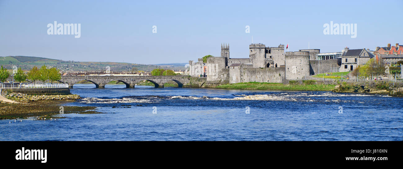 (Site of) St. Johns WellHoly well · 573 yd
 Hachured - Externally indicatedFairy fort / earthen ringfort · 635 yd
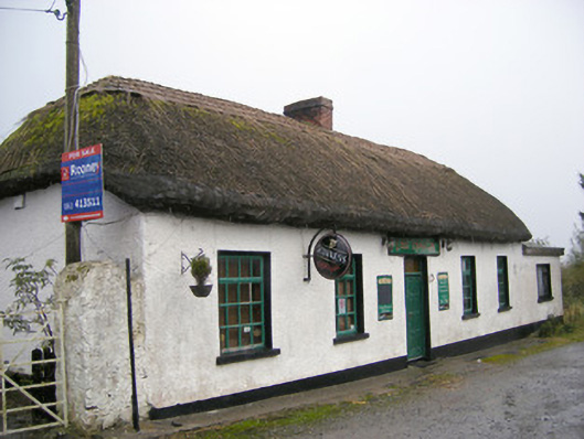 The Thatchhouse · 844 yd
 Carnane RockNamed rock · 1.2 mi
 Bawn in SkoolhillBawn · 1.3 mi
 Dotted outlineBawn · 1.3 mi
 Skool HillMountain / peak · 1.6 mi
 Villiers WellSpring · 1.9 mi
 ToberauillinSpring · 2.1 mi
 Lough GurVisitor information · 3.5 mi
 Grange Stone CircleArchaeological place · 3.5 mi