What is recorded here
In pasture, on a gentle W-facing slope. Levelled remains of rectangular area (dims. c. 18m N-S; 25m E-W) defined by trace of levelled bank (Wth 7m; int. H 0.3m; ext. H 0.1m; L 24m at N; L 18m at E; L 26m at S; L 19m at W). Remains of fosse (Wth 6m; D 0.1m). Levelled outer bank (Wth 17.5m; int. H 0.35m; ext. H 0.15m) along N and S sides. Possible outer fosse (Wth 13m; D 0.4m) is along N-side only. Ringforts (TS070-018---- and (TS070-022001-) located 160m to NW and 230m to NE respectively.
Compiled by: Jean Farrelly
Date of upload: 26 August 2011
The monument record does not grant public access. Check the route and ask the landowner before entering private land.
- What survives
- Recorded monument
Places near here
 Enclosure in FarransheaEnclosure · 282 yd
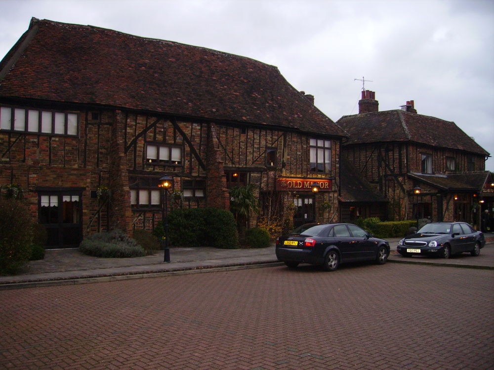 Old Manor Ho. (in ruins)House, 17th century · 432 yd
 Brook Hillhouse · 619 yd
 Enclosure in Saucestown (rathcool Par.)Enclosure · 1262 yd
 Cramp's CastleCastle · 1647 yd
 Kilknockan HillMountain / peak · 1.4 mi
 Knockkelly CastleCastle · 1.4 mi
 East GateMemorial · 1.5 mi
 Pedunculate OakPedunculate Oak · 1.6 mi
 European YewEuropean Yew · 1.6 mi
 CarrigdotiaMountain / peak · 3.3 mi
 Gobban Saer's GraveArchaeological place · 9.2 mi