What is recorded here
In pasture 30m N of Dunmoylan Church (LI019-102001-) and 240m S of ringfort (LI019-103----). Not depicted on OS Maps. Enclosure visible on Digital Globe orthophotos taken 2011-13 where it consists of a rectangular-shaped area (approx. dims. 75m N-S x 65m E-W) enclosed by a bank with possible traces of an external fosse visible at N only. Possible sunken road leading from public road to NW corner of earthwork clearly visible on Google Earth orthoimage taken 14/09/2009. This imagery also shows the W boundary of the enclosure continues S to the public road for a distance of approx. 50m.
See attached Google earth orthoimages
Compiled by: Martin Fitzpatrick
Date of upload: 22 July 2020
The monument record does not grant public access. Check the route and ask the landowner before entering private land.
- What survives
- Recorded monument
Places near here
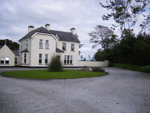 The Presbyteryhouse, presbytery/parochial/curate's house · 556 yd
 Rathfarra - HachuredFairy fort / earthen ringfort · 846 yd
 Fulacht fia in CarronsFulacht fia · 933 yd
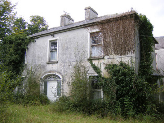 Ballysteen Housecountry house · 1338 yd
 Site of CastleCastle, unclassified · 1493 yd
 CastleCastle, unclassified · 1.2 mi
 St. Luke's WellSpring · 2.9 mi
 St. Kieran's WellSpring · 3.8 mi
 Foynes Flying Boat & Maritime MuseumMuseum · 4.6 mi
 Foynes Island ViewpointViewpoint · 4.8 mi
 Gammarel PointHeadland · 5.0 mi
 Monterey CypressMonterey Cypress · 5.1 mi