What is recorded here
In gently undulating pasture on level ground with a bowl-barrow (TS057-003---) 60m to the NW. Roughly rectangular area (dims. 40m ENE-WSW; 30m NNW-ESE) enclosed by an earthen scarp (Wth 2-3m; ext. H 0.2-0.25m) with a broad flat-bottomed external fosse (Wth at base 2m; overall Wth 4.2m-6m; D 0.2-0.25). The moated site is bowed outward slightly along the NNW side. The scarp and fosse are absent along the ESE side and the edge of the moated site is defined by a modern field boundary. Traces of a broad channel (L c. 15m; Wth at base 2m; overall Wth 4.2-6m; D 0.1m) of uncertain significance extend in a SSE direction from the WSW corner of the fosse. The original entrance is not recognisable. The interior is level and clear of overgrowth.
Compiled by: Jean Farrelly
Date of upload: 26 August 2011
The monument record does not grant public access. Check the route and ask the landowner before entering private land.
- What survives
- Recorded monument
Places near here
 Site of Killeen ChurchChurch · 1157 yd
 Enclosure in ChancellorslandEnclosure · 1348 yd
 Killeengallive Abbey (in Ruins)Religious house, Franciscan friars · 1.3 mi
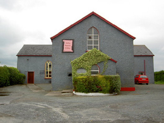 Halla Naomh Ailbhechurch/chapel · 1.4 mi
 Glebe Ho.Castle, unclassified · 1.5 mi
 CashlanCastle, unclassified · 1.7 mi
 Kilteely HillMountain / peak · 3.0 mi
 St. Patrick's WellSpring · 3.3 mi
 Flat cemetery in Knockainy WestFlat cemetery · 3.9 mi
 St Patrick's WellSpring · 4.1 mi
 Oola HillMountain / peak · 5.7 mi
 Ballinvreena LoopVisitor information · 7.1 mi