What is recorded here
In flat, low-lying, wet terrain, in rough pasture with grassy reeds. Pool immediately W and NW of moated site, with wet terrain to N and E. An enclosure (TS077-084----) is visible c. 320m to the SE. Moated site indicated as a square enclosure defined by scarp on 2nd (1906) ed. OS 6-inch map with field boundary running N-S immediately W of monument. This field boundary has been removed, as has that to the N. The field appears to have been reclaimed some years ago. The monument consists of a roughly square raised area (dims. 40.3m N-S; 42m E-W) defined by a shallow scarp (H 0.61m) with rushes growing on E side of moated site. S edge is defined by a low fosse and counterscarp which continues to rise gradually with the natural ground level. In its current state the moated site resembles a promontory with wet ground to N, E and W.
Compiled by: Jean Farrelly
Date of upload: 26 August 2011
This remains an important historical record, but the official description says the monument is no longer visible or has been destroyed. The monument record does not grant public access. Check the route and ask the landowner before entering private land.
- What survives
- No visible remains or recorded as destroyed
Places near here
 Enclosure in Doon (kilgrant Par.)Enclosure · 402 yd
 FortwilliamFairy fort / earthen ringfort · 1141 yd
 CastleCastle, unclassified · 1267 yd
 RathronanCastle, ringwork · 1413 yd
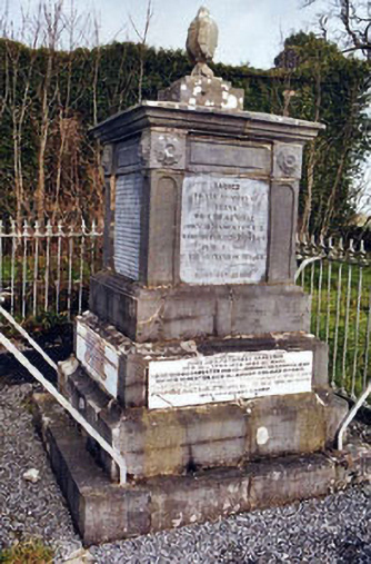 Rathronan Churchmonument · 1440 yd
 Catholic Church of Saint John the Baptistchurch/chapel · 1.2 mi
 The WoodsForest · 1.2 mi
 Persian WalnutPersian Walnut · 1.8 mi
 Vincent HanleyMemorial · 2.1 mi
 RetrospectMemorial · 2.3 mi
 Main GuardHeritage attraction · 2.3 mi
 Merchant's HouseVisitor information · 2.5 mi