What is recorded here
In low-lying grassland. A number of streams encircle the monument from SW through N to SE. Poorly preserved and heavily overgrown rectangular area (E-W c. 48m, N-S 34m) defined by a scarp, intervening fosse and outer bank. No visible surface trace of the enclosing elements survives from NE to SE where a field bank cuts the monument. The outer bank has been reused as a field boundary from NW to NE. The W side of the monument is densely overgrown, and a disused quarry lies just outside to W. Numerous field banks radiate from the monument. (Neary 1914, 121, no. 75)
The above description is derived from the published 'Archaeological Inventory of County Galway Vol. II - North Galway'. Compiled by Olive Alcock, Kathy de hÓra and Paul Gosling (Dublin: Stationery Office, 1999).
Date of upload: 05 August 2010
The monument record does not grant public access. Check the route and ask the landowner before entering private land.
- What survives
- Recorded monument
Places near here
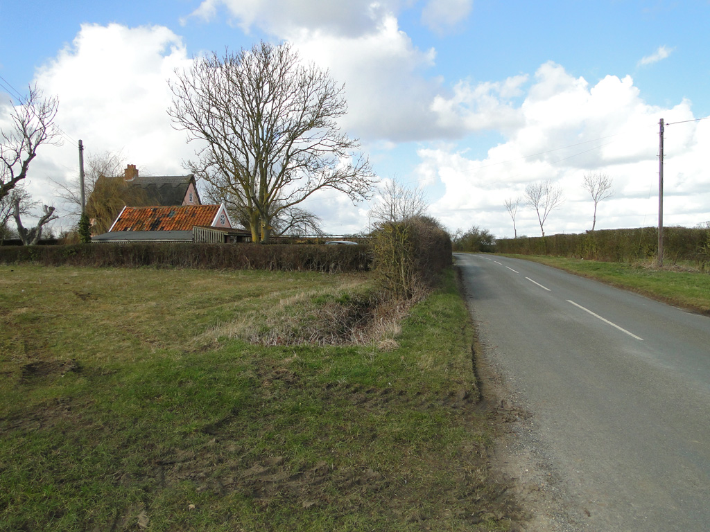 Cuckoo HillFairy fort / ringfort · 245 yd
 Abbey in ruinsChurch · 912 yd
 CrossCross, High cross (present location) · 942 yd
 Dunmore CastleCastle · 2.3 mi
 Church in ConagherChurch · 2.3 mi
 Site of Doonbally CastleCastle, unclassified · 2.6 mi
 Slieve DartMountain / peak · 5.4 mi
 European ashEuropean ash · 6.6 mi
 Mass RockNamed rock · 8.3 mi
 KnockmaaWood · 12 mi
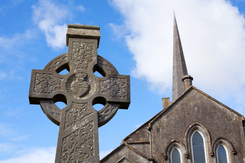 Stone CrossCross, High cross · 972 yd
 Cloonagh FortHilltop enclosure · 1.0 mi