
What is recorded here
On a low hill surrounded by flat bogland. An oval enclosure (E-W 112m, N-S 95m), in fair condition, defined by a bank/scarp, an intervening fosse and outer bank. The inner bank survives as a low denuded bank/scarp (H c. 0.3m max.) except from N to NE where an attempt was made to level it, and at W where a disused silage pit now stands. The fosse is shallow (Wth 4-8.5m) but intact save at W, and at WNW where it is overlain by a modern causeway. The outer bank (Wth 2.3m, H 1.3m max.) is incorporated into a modern field boundary. A CBG (GA017-071001-) lies in NE quadrant of the interior and a probable Man-made underground passage (GA017-071002-) is also associated. While the presence of the CBG and probable Man-made underground passage might indicate an early ecclesiastical connection, the size and location of the enclosure suggest a prehistoric origin. (Neary 1914, 113-14, no. 139)
The above description is derived from the published 'Archaeological Inventory of County Galway Vol. II - North Galway'. Compiled by Olive Alcock, Kathy de hÓra and Paul Gosling (Dublin: Stationery Office, 1999).
Date of upload: 05 August 2010
A local fairy fort (ringfort/rath); wider significance not recorded.
The monument record does not grant public access. Check the route and ask the landowner before entering private land.
- What survives
- Recorded monument
Places near here
 Strawberry Hill FortArchaeological place · 1327 yd
 Enclosure in KilnaslieveEnclosure · 1.1 mi
 Abbey in ruinsChurch · 1.2 mi
 Site of Doonbally CastleCastle, unclassified · 1.8 mi
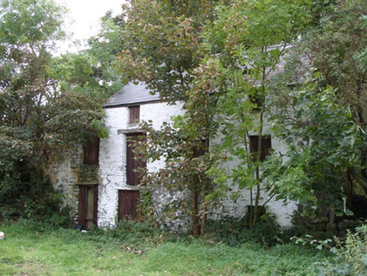 mill (water)mill (water) · 2.2 mi
 Dunmore CastleCastle · 2.2 mi
 Slieve DartMountain / peak · 5.7 mi
 European ashEuropean ash · 6.0 mi
 Mass RockNamed rock · 7.8 mi
 KnockmaaWood · 11 mi
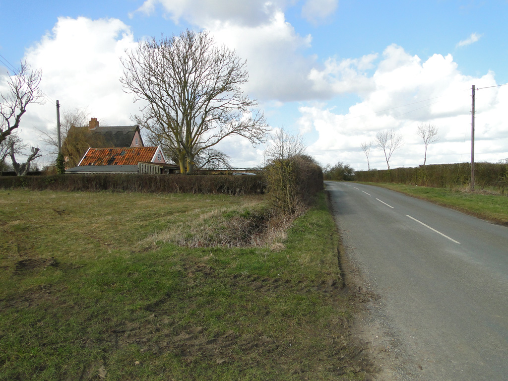 Cuckoo HillFairy fort / ringfort · 1.1 mi
 CrossCross, High cross (present location) · 1.2 mi
Other information
Photo: Credit not shown in the picture search · Rights wording not checked; contact us if this picture should be removed