
What is recorded here
On a ridge in undulating grassland; it is situated within a rectangular graveyard on the td. boundary. Though named on OS 6-inch maps as 'Abbey', there is no definite evidence of a monastery here (Gwynn and Hadcock 1970, 363). Named by Neary (1914, 125, no. 76) as 'Ardcloon Church', and described as an 'ancient church [of which] only the W. gable and small portions of side walls remain'. He noted the existence of two single-light windows; one at W end of S wall and one in W gable. The latter is described as a 'splayed window, 3 ft. high [0.9m], over which there is a rudely sculptured stone'. When coupled with his mention of 'inlet holes for joists on the inner side of the gable' (ibid.), this suggests that there may have been a loft at W end of the building. All that is visible now is an ill-defined grassed-over mound. It was probably a medieval parish church. There are a number of crossslabs in the graveyard (Higgins 1987, 278, 323, 373, nos. 9, 49, 93) and a cross head (GA016-013006-) is also associated. (O'Flanagan 1927, Vol. 1, 28)
The above description is derived from the published 'Archaeological Inventory of County Galway Vol. II - North Galway'. Compiled by Olive Alcock, Kathy de hÓra and Paul Gosling (Dublin: Stationery Office, 1999).
Date of upload: 05 August 2010
A local church or high cross; wider significance not recorded.
The monument record does not grant public access. Check the route and ask the landowner before entering private land.
- What survives
- Recorded monument
Places near here
 CrossCross, High cross (present location) · 33 yd
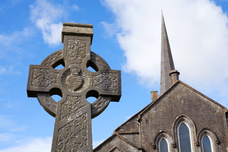 Stone CrossCross, High cross · 67 yd
 Church in ConagherChurch · 2.0 mi
 Church in ruinsChurch · 2.4 mi
 Site of Doonbally CastleCastle, unclassified · 2.5 mi
 Bawn in Kilcloony (dunmore By.)Bawn · 2.8 mi
 Slieve DartMountain / peak · 5.9 mi
 European ashEuropean ash · 6.2 mi
 Mass RockNamed rock · 7.9 mi
 KnockmaaWood · 11 mi
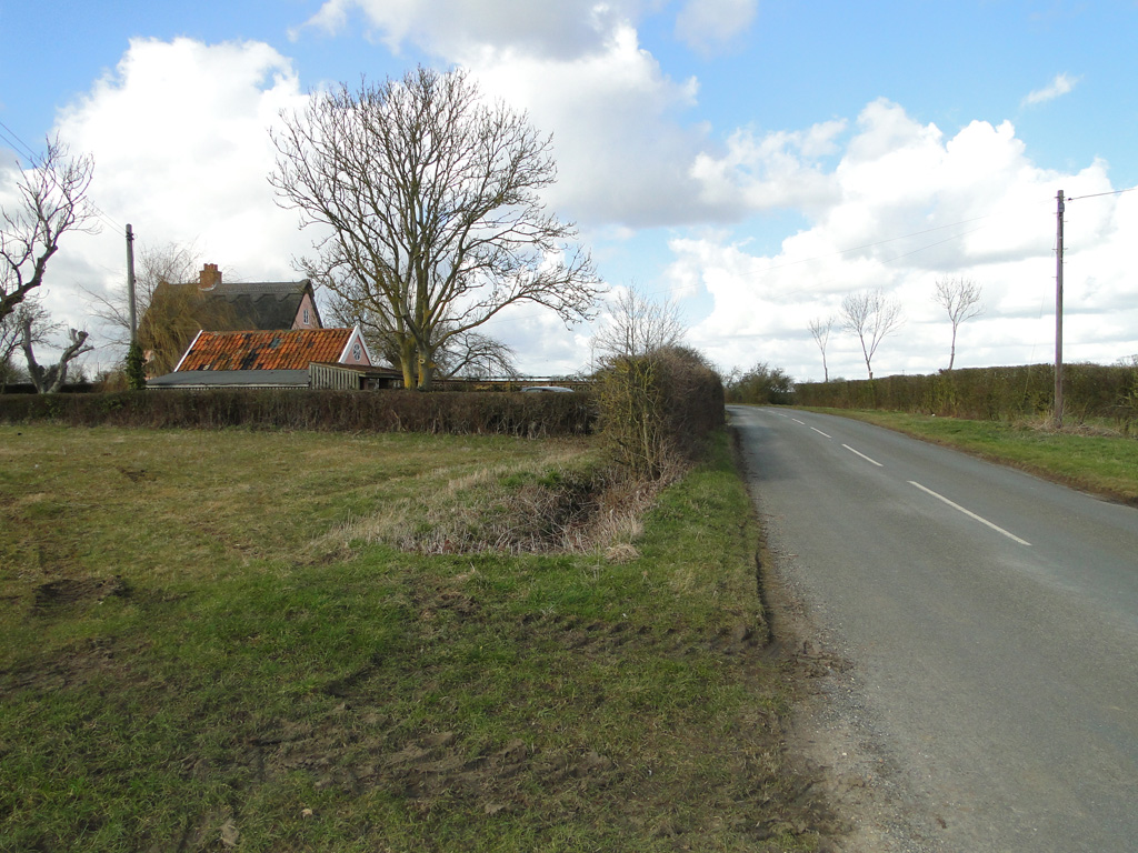 Cuckoo HillFairy fort / ringfort · 1086 yd
 Cloonagh FortHilltop enclosure · 1.2 mi
Other information
Photo: Credit not shown in the picture search · Rights wording not checked; contact us if this picture should be removed