What is recorded here
In tillage. A roughly rectangular enclosure (dims. c. 33m N-S; c. 43m E-W), defined by a wide fosse, is visible on satellite imagery (© Google Earth, imagery date 30 January 2009 and 18 January 2018), identified and reported by Jean-Charles Caillère. A possible ringfort (TN017-054----) is located c. 80m to the ENE.
See attached Google Earth image (imagery date 18 January 2018)
Compiled by: Jean Farrelly
Date of upload: 21 April 2020
The monument record does not grant public access. Check the route and ask the landowner before entering private land.
- What survives
- Recorded monument
Places near here
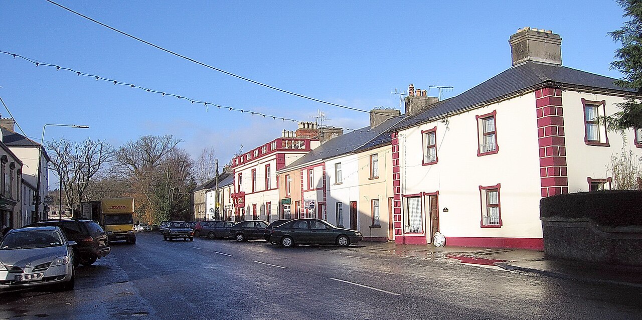 IndicatedEnclosure · 738 yd
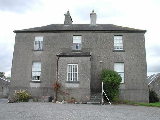 rectory/glebe/vicarage/curate's houserectory/glebe/vicarage/curate's house · 748 yd
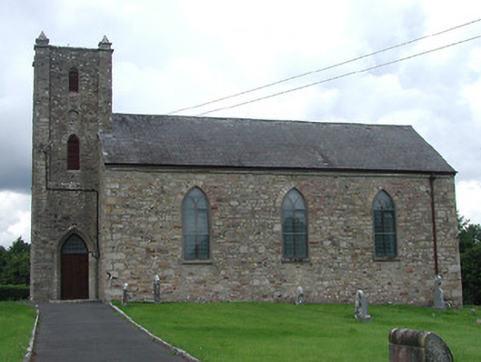 Saint Burchin's Church (Bourney)church/chapel · 914 yd
 OutlinedCastle, Anglo-Norman masonry castle · 1612 yd
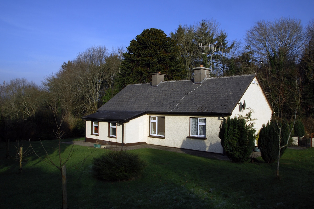 Habitation site in Ballyslea,boola (bourney Par.)Habitation site · 1.2 mi
 Longford WoodForest · 1.9 mi
 Castle (in ruins)Castle, tower house · 2.1 mi
 Black HillMountain / peak · 3.4 mi
 Carricknasrock WoodWood · 3.8 mi
 Roscrea Petty Sessions HouseHeritage attraction · 4.3 mi
 BenduffMountain / peak · 4.4 mi
 Millennium GardenMemorial · 5.3 mi