What is recorded here
In pasture on low-lying poorly drained land with river immediately to the S. Raised rectangular area (41m N-S; 56m E-W; H 0.5m) enclosed by two earthen banks with intervening fosse (Wth 2.5m; D 0.9m) with no evidence of an entrance feature. Inner bank (Wth 1m; ext. H 1.4m; int. H 0.5m) and outer bank levelled at S but survives on other sides (int. H 1.4m; ext. H 0.9m; Wth 5m). Possible moated site.
The above description is derived from the published 'Archaeological Inventory of County Offaly' (Dublin: Stationery Office, 1997). In certain instances the entries have been revised and updated in the light of recent research.
Date of upload: 23 May 2011
The monument record does not grant public access. Check the route and ask the landowner before entering private land.
- What survives
- Recorded monument
Places near here
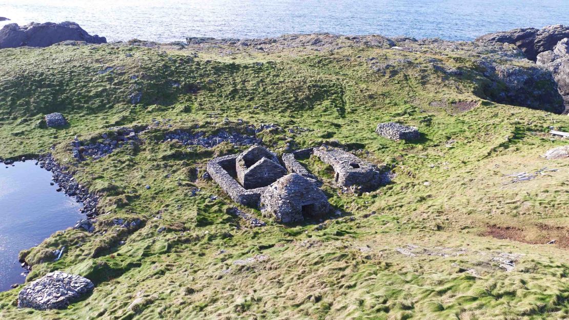 Enclosure in Kiltubbrid IslandEnclosure · 1108 yd
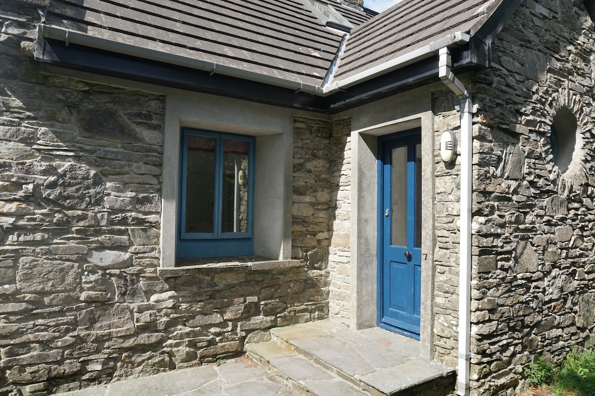 Enclosure in BallyroeEnclosure · 1145 yd
 Bawn in Annaghmore AND AnnaghbegBawn · 1.5 mi
 CastleCastle, tower house · 1.5 mi
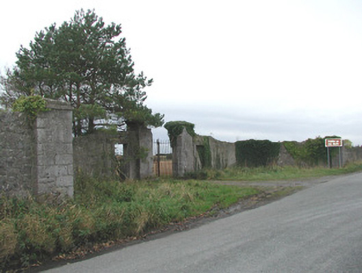 Thomastown Parkwalled garden, outbuilding, demesne walls/gates/railings · 1.5 mi
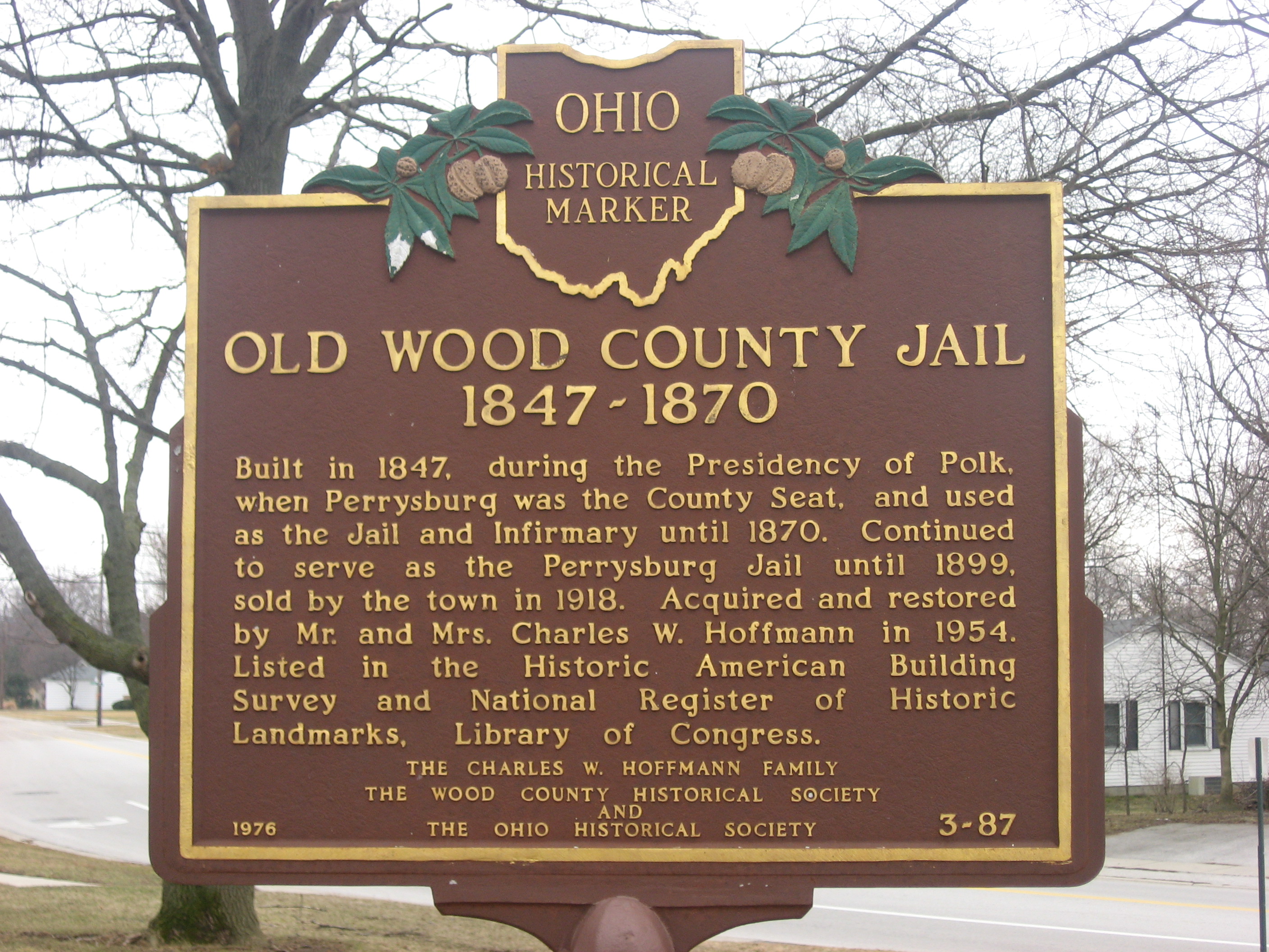 Knockbarron WoodForest · 1.6 mi
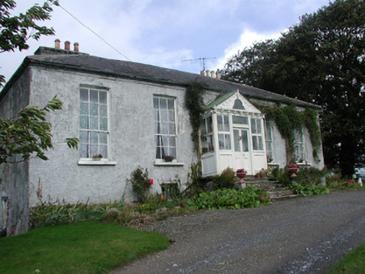 Heath Lodgehouse · 1.7 mi
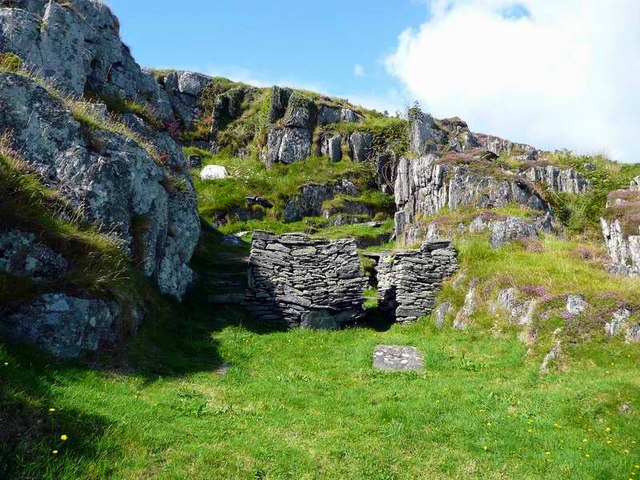 Saint Cormac's WellSpring · 2.6 mi
 Moneyguyneen WoodWood · 3.0 mi
 Arthur's WellSpring · 3.2 mi
 Waypoint 1Visitor information · 3.4 mi
 Castletown and GlinskVisitor information · 3.5 mi