What is recorded here
In dense scrubland and rock outcrop; a stream meanders c. 40m to the E. Marked on the 1838 edition of the OS 6-inch map as a rectangular enclosure (c. 39m NW-SE; c. 37m NE-SW). No visible surface trace survives.
Compiled by: Galway Archaeological Survey, UCG
Date of upload: 23 July 2019
The monument record does not grant public access. Check the route and ask the landowner before entering private land.
- What survives
- Recorded monument
Places near here
 IndicatedFairy fort / stone ringfort · 124 yd
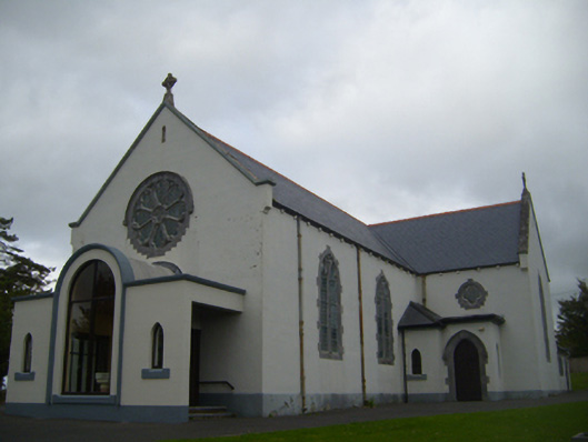 Saint Anne's Catholic Churchchurch/chapel · 769 yd
 Old ChapelChapel · 795 yd
 Ardamullivan Castle (in ruins)Castle, tower house · 1625 yd
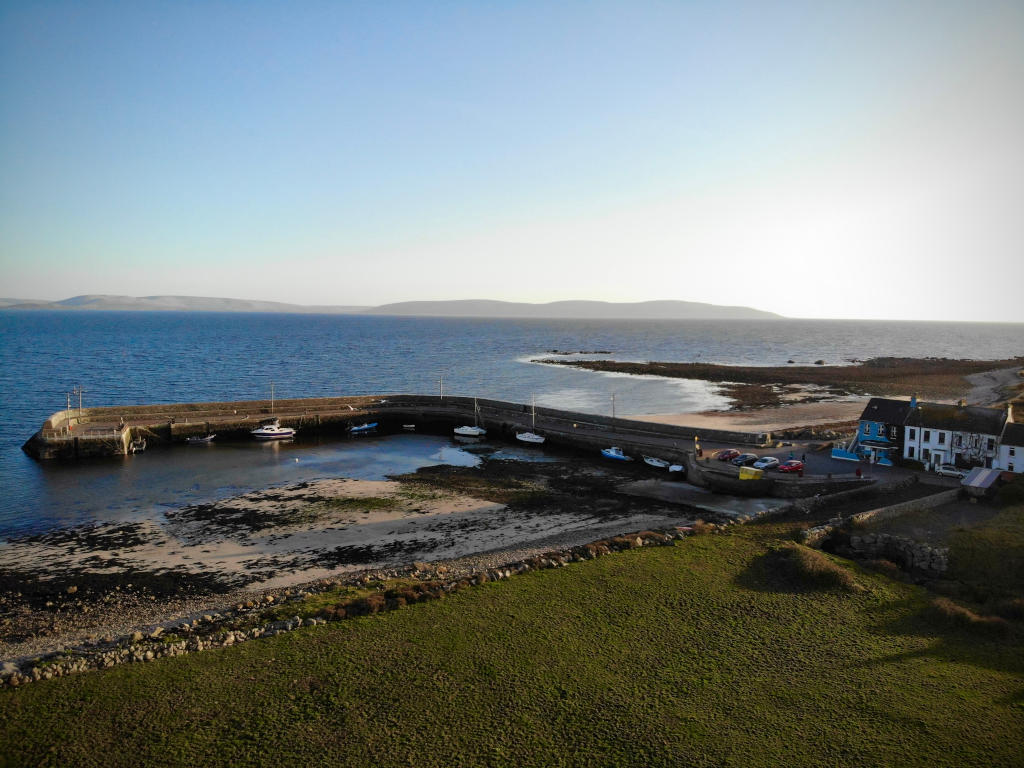 Fulacht fia in Barna (kiltartan By.)Fulacht fia · 1649 yd
 Fiddaun Castle (in ruins)Castle, tower house · 1.3 mi
 Swan IslandIsland · 2.1 mi
 Apple IslandWood · 2.6 mi
 Keaghery IslandWood · 2.8 mi
 Kilmacduagh MonasteryHeritage attraction · 3.1 mi
 Kilmacduagh Monastic SiteVisitor information · 3.1 mi
 Castle IslandIsland · 3.2 mi