What is recorded here
Marked as a rectangular ditched enclosure (ext. dims. c. 55m NE-SW; c. 55m NW-SE) only on the 1924 ed. of the OS 6-inch map. It is situated on a shelf between Bree Hill c. 800m to the SSW and Carrig Hill c. 570m to the NE, but below the col between them that is c. 300m to the SE. It is also c. 50m higher than the S-N Boro River c. 800m to the W and N. This is a square area (dims 30m NE-SW; 30m NW-SE) in mixed woodland defined by earthen banks (Wth 6m; int. H 1m) with external flat-bottomed moats (Wth of top 8-11m; Wth of base 3m; int. D 2.2-2.5m; ext. D 2.4-2.5m) that have outer earthen banks (Wth c. 3m; ext. H 1m) on each side. There is an entrance (Wth 1.5m) through the inner bank on the NE side (max. ext. dims. 55m NE-SW; 55m NW-SE). (Barry 1977, 219, WX 47)
The above description is derived from the published 'Archaeological Inventory of County Wexford' (Dublin: Stationery Office, 1996). In certain instances the entries have been revised and updated in the light of recent research.
Compiled by: Michael Moore
Date of upload/revision: 3 July, 2012
The monument record does not grant public access. Check the route and ask the landowner before entering private land.
- What survives
- Recorded monument
Places near here
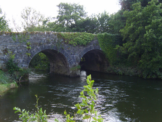 bridgebridge · 877 yd
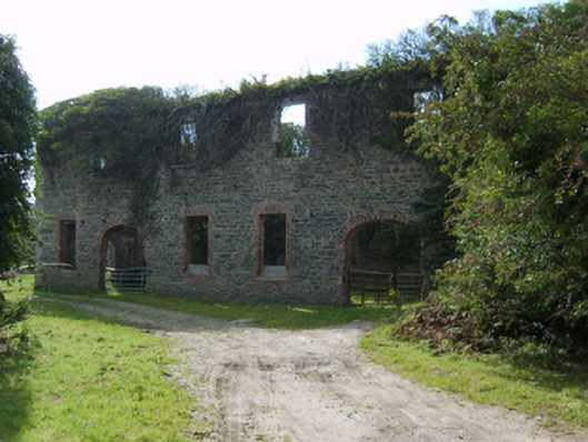 mill (water)mill (water) · 995 yd
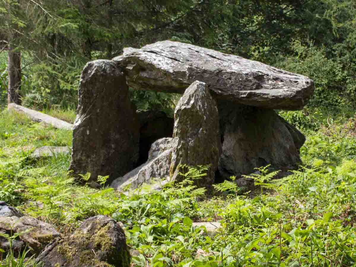 Bree HillMountain / peak · 999 yd
 Enclosure in BreeEnclosure · 1063 yd
 Wilton Ho.Castle, unclassified · 1509 yd
 indicatedEnclosure · 1612 yd
 Dick Joynt MemorialMemorial · 1746 yd
 (Site of) CastleCastle, unclassified · 1.9 mi
 Raheennahoon HillMountain / peak · 2.7 mi
 National 1798 CentreMuseum · 4.0 mi
 Battle of Vinegar HillMajor battlefield · 4.3 mi
 Duffry GateMemorial · 4.3 mi