
What is recorded here
From the National Monuments Service (Archaeological Survey of Ireland) record WX006-095
Places near here
Photo credits
- Maker not stated on source page, tr.pinterest.com
- National Inventory of Architectural Heritage
- Maker not stated on source page, in.pinterest.com
- Maker not stated on source page, stock.adobe.com
- Maker not stated on source page, www.pinterest.com
- Kmcnamee, Wikimedia Commons · CC BY-SA 4.0
- Maker not stated on source page, storage.googleapis.com
 Embanked enclosureFairy fort / earthen ringfort · 1366 yd
Explorer Tom Embanked enclosure in Craanhill is hiding up top, pretending to be a potato it’s secretly proud of. It was on old maps…
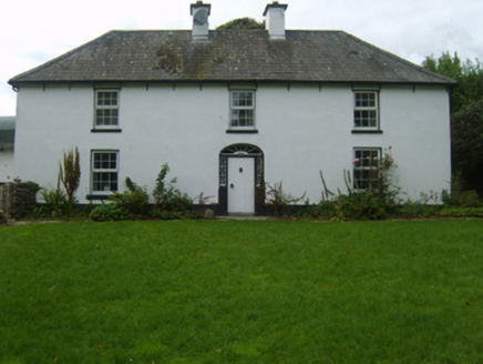 farm house1557 yd
Explorer Tom Farm house in Knockbrandon Upper is having a massive drama with the nearest tree about who gets to block the sun. It’s…
 Saint Brendan's Church GraveyardGraveyard · 1.0 mi
Explorer Tom Saint Brendan's Church Graveyard thinks Dublin tourists are all the same: loud, lost, and constantly asking if they can…
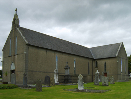 Saint Brendan's Catholic ChurchChurch/chapel · 1.0 mi
Explorer Tom Saint Brendan's Catholic Church in Monaseed Demesne has a T-shaped plan that’s aligned along a liturgically incorrect…
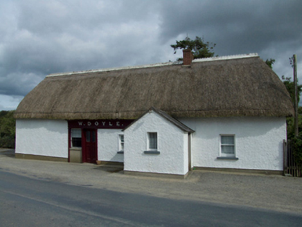 W. DoyleHouse · 1.1 mi
Explorer Tom W. Doyle in Clonamona Lower is basically run by a very opinionated dog who hasn't left the porch since 1994. The mud on…
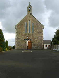 Saint Patrick's Catholic ChurchChurch/chapel · 1.2 mi
Explorer Tom Saint Patrick's Catholic Church in Island Upper is keeping a secret it’d only tell after three pints. It stands proud…
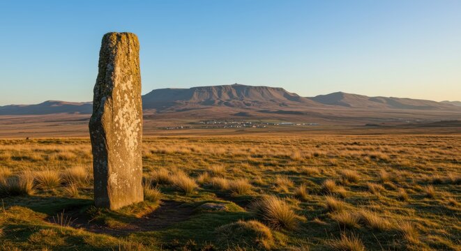 Standing stoneStanding stone, pair · 1.2 mi
Explorer Tom Clonamona Upper Standing Stone: Two stones stood here until one apparently decided to become bedrock, which is…
 Standing stone in Kilmichael HillStanding stone · 1.3 mi
Explorer Tom Standing stone in Kilmichael Hill is hiding on a slope of Slievebaun, probably feeling embarrassed about its triangular…
 Craanford Fr. O'Regans GAA pitchGAA ground · 1.3 mi
 Fairy fort / earthen ringfort in Clonamona Upper,knockbrandon UpperFairy fort / earthen ringfort · 1.4 mi
Explorer Tom Fairy fort / earthen ringfort in Clonamona Upper would order a chipper with extra gravy and no peas because it’s…
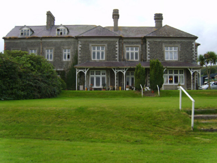 Mount Saint BenedictCountry house · 1.6 mi
Explorer Tom Mount Saint Benedict would post a selfie on social media with the caption: 'Living my best life on a hill.' Arthur…
 Standing stone (present location) in Monbay LowerStanding stone (present location) · 1.6 mi
Explorer Tom Standing stone in Monbay Lower was buried under a farmyard because someone couldn't be bothered to move it properly.…
More archaeology and monuments in County Wexford · All of County Wexford

What do you know about this place?Tap to add a comment or ask a question