What is recorded here
Situated in low-lying pasture to the SW of Dunmoran Strand. This is a sub-rectangular area (L N-S 15.20m) defined by a bank ( H 0.20m-0.25m). The bank is extremely faint in the E. The surrounding area is very wet. There is no evidence for a fosse or internal features.
Compiled by: Geraldine Stout
Date of upload: 25 April 2013
The monument record does not grant public access. Check the route and ask the landowner before entering private land.
- What survives
- Recorded monument
Places near here
 Dunmoran StrandBeach / strand · 798 yd
 Aughris BeachBeach / strand · 829 yd
 Templeboy Church (in Ruins)Church · 921 yd
 Enclosure in LaraghEnclosure · 985 yd
 Structure in CarrowcaslanStructure · 1109 yd
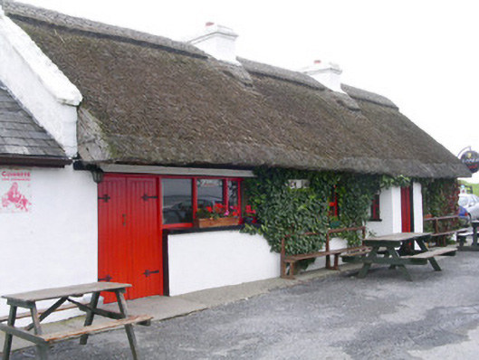 public housepublic house · 1112 yd
 Aughris HeadHeadland · 1.4 mi
 CastleCastle, Anglo-Norman masonry castle · 1.6 mi
 Bawn in CarrowbrickeenBawn · 3.2 mi
 Derkmore PointHeadland · 3.5 mi
 Giant's GraveArchaeological place · 4.4 mi
 Valley WoodForest · 4.5 mi