What is recorded here
Classified in SMR (1989) as 'Enclosure, possible' and in the RMP (1995) 'Ringfort (rath/cashel possible)'. Situated on good rolling pasture. The site is evident as a slight rise in ground close to a curving field boundary. It is best preserved on the E side of the boundary immediately behind a house.
From the National Monuments Service (Archaeological Survey of Ireland) record SL013-103
The monument record does not grant public access. Check the route and ask the landowner before entering private land.
- What survives
- Recorded monument
Places near here
Man-made underground passage in CarrowcaslanMan-made underground passage · 767 ydIndicatedFairy fort / earthen ringfort · 856 yd Dunmoran StrandBeach / strand · 1063 ydArdnaglass BridgeBridge · 1433 ydP. BreheneyHouse · 1517 ydAughris BeachBeach / strand · 1620 ydCastleCastle, Anglo-Norman masonry castle · 1.3 miAughris HeadHeadland · 1.9 miBawn in CarrowbrickeenBawn · 3.0 miSligo BayBay · 3.9 miGiant's GraveArchaeological place · 4.0 miEuropean ash4.7 mi
 Dunmoran StrandBeach / strand · 1063 yd
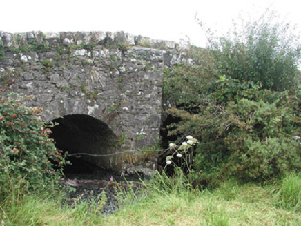 Ardnaglass BridgeBridge · 1433 yd
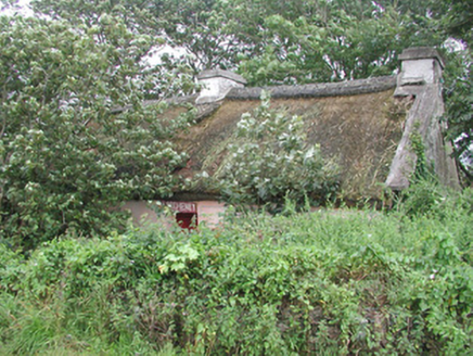 P. BreheneyHouse · 1517 yd
 Aughris BeachBeach / strand · 1620 ydCastleCastle, Anglo-Norman masonry castle · 1.3 mi
 Aughris HeadHeadland · 1.9 miBawn in CarrowbrickeenBawn · 3.0 mi
 Sligo BayBay · 3.9 miGiant's GraveArchaeological place · 4.0 mi
 European ash4.7 mi
Pictures: Colin Park, Geograph · CC BY-SA 2.0; National Inventory of Architectural Heritage; Michael Dibb, Geograph · CC BY-SA 2.0; Paul Burns, Geograph · CC BY-SA 2.0; Pampuco, Wikimedia Commons · CC BY-SA 4.0; Willow, Wikimedia Commons · CC BY 2.5
More archaeology and monuments in County Sligo · All of County Sligo
What do you know about this place?