What is recorded here
Cooliney is where a rectangular moated enclosure stood beside a ringfort before local men levelled it in the early 1970s. The south edge still betrays itself through rush growth and waterlogged pasture, as if the ditch were only sleeping beneath the grass. What was lost was not small: a marked boundary, a wet guardrail, a place shaped for human life. To walk past it now is to step across the ghost of a room the land once kept.
Depicted as hachured rectangular enclosure (c. 45m N-S; c. 25m E-W) on 1842 OS 6-inch map; as hachured rectangular enclosure on 1905 and 1936 OS 6-inch maps, with N end rounded. According to local information, levelled early 1970s. In low-lying pasture. Some rush growth and waterlogging in area of site to S which may indicate line of infilled fosse. Roughly rectangular enclosure clearly visible in aerial photograph (GSIAP, R610; May 1977) as soilmark of levelled bank, narrowing to N end. Listed by Barry (1981, 82, no. 23). Ringfort (12351) c. 40m to W.
The above description is derived from the published 'Archaeological Inventory of County Cork. Volume 4: North Cork' (Dublin: Stationery Office, 2000). In certain instances the entries have been revised and updated in the light of recent research.
Date of upload/revision: 14 January 2009
The monument record does not grant public access. Check the route and ask the landowner before entering private land.
- What survives
- Recorded monument
Places near here
 Fulacht fia in Coolcaum (orrery and Kilmore By.)Fulacht fia · 598 yd
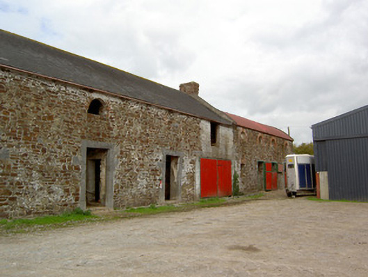 Cooliney Houseoutbuilding · 736 yd
 CastleCastle, motte · 788 yd
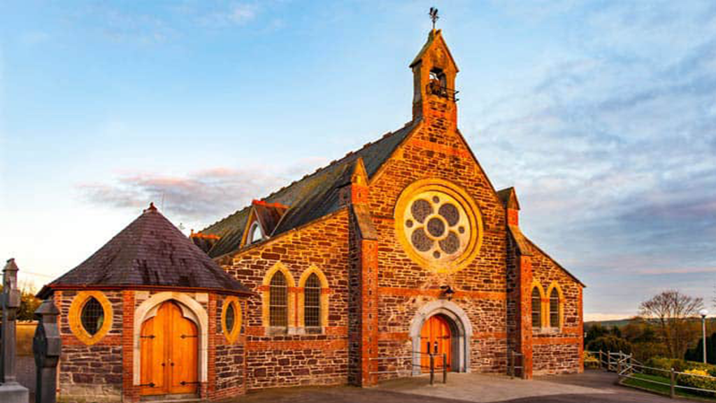 Cooliney Church (in Ruins)Church · 803 yd
 Enclosure in Annagh NorthEnclosure · 1300 yd
 Castle (Site of)Castle, unclassified · 1.8 mi
 Windmill HillMountain / peak · 2.5 mi
 Ballyhoura WayWalking route · 2.6 mi
 Holy Cross CemeteryGraveyard · 3.0 mi
 CarrigeenMountain / peak · 3.9 mi
 BallinaboolaVisitor information · 4.3 mi
 Churchtown TrailsVisitor information · 4.3 mi