
What is recorded here
This roughly rectangular enclosure is situated on slightly elevated land and has a good view of the surrounding countryside. It consists of an enclosing earthen bank that has a maximum external diameter of 47m N-S and 52m E-W. No trace of any exterior fosse could be noted. The maximum external height of the bank…
Read the whole record
From the National Monuments Service (Archaeological Survey of Ireland) record KE002-037
Places near here
Photo credits
- Maker not stated on source page, www.agriland.ie
- National Inventory of Architectural Heritage
- Borvan53, Wikimedia Commons · CC BY-SA 3.0
- Maker not stated on source page, za.pinterest.com
- Chris, Geograph · CC BY-SA 2.0
- Arcaist, Wikimedia Commons · CC BY-SA 3.0
- Maker not stated on source page, www.airbnb.ca
- Colin Park, Geograph · CC BY-SA 2.0
- Maker not stated on source page, en.wikipedia.org
- Maker not stated on source page, www.pinterest.com
- Ballylongford Snaps; individual photographer not named, ballylongfordsnaps.com
- Kmcnamee, Wikimedia Commons · CC BY-SA 4.0
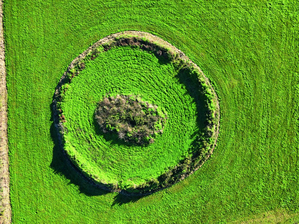 Fairy fort / earthen ringfort in Killelton (iraghticonnor By.)Fairy fort / earthen ringfort · 978 yd
Explorer Tom Fairy fort / earthen ringfort in Killelton has a curse that only affects people who forget to wave hello as they pass…
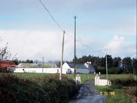 Kilelton Farm YardFarmyard complex · 1592 yd
Explorer Tom Kilelton Farm Yard in Carrigafoyle would handle a nosey neighbour by simply closing the gate and pretending to be a…
 Siege of Carrigafoyle CastleSiege · 1636 yd
Explorer Tom The Siege of Carrigafoyle Castle happened when the whole parish argued about who had the right to park their boat by…
 Fairy fort / earthen ringfort in Carrig IslandFairy fort / earthen ringfort · 1690 yd
Explorer Tom Fairy fort / earthen ringfort in Carrig Island was built after two lads bet they could survive a famine inside a…
 Carrigafoyle Cas. (in ruins)Castle, tower house · 1755 yd
Explorer Tom Carrigafoyle Cas. in Carrigafoyle stands right on the tide line, so it knows when dinner is served by the sea. It's…
 Carrigafoyle CastleCastle · 1757 yd
Explorer Tom Carrigafoyle Castle would win any county fair prize for best costume because it looks like it stepped out of a fairy…
 Fulacht fia in Carrig IslandFulacht fia · 1.1 mi
Explorer Tom Fulacht fia in Carrig Island thinks the rabbits are its landlords, paying rent in stolen carrots. The burnt stones are…
 Carrig IslandIsland · 1.1 mi
Explorer Tom Carrig Island had a cow try to buy it once by offering three pints of stout and a very confused expression, which was…
 Carrig Abbey (in ruins)Religious house, unclassified · 1.1 mi
Explorer Tom Carrig Abbey is built from thin flagstones that make it look like a squashed pancake. Map makers got confused by the…
 Mapped graveyardGraveyard · 1.8 mi
Explorer Tom Here's a mapped graveyard in Kerry that’s secretly proud of one specific potato growing near the gate. It thinks that…
 Ballylongford GAA pitchGAA ground · 2.0 mi
 Asdee GAA pitchGAA ground · 2.1 mi
More archaeology and monuments in County Kerry · All of County Kerry

What do you know about this place?Tap to add a comment or ask a question