What is recorded here
Indicated as a substantial embanked rectangular enclosure on the 1st ed. (1839) of the OS 6-inch map (est. int. dims. L c. 55m N-S; Wth c. 48m) but not recorded on the latest ed.(1939). Darby (1899-1902, 191) describes an area surrounded by, 'an embankment, thickly covered by bushes and trees … . Outside this was a fosse, from ten to twelve yards wide, always full of water… . The only entrance gap was on the south side.' He also records the presence of a cave (possible Man-made underground passage, KD035-005001-) in the interior, together with the local tradition that the monument was used as place of refuge by monks from Kilart nunnery (KD031-020001-) and Kilberry church (KD030-005----) and that he had seen spearheads which had been found in an adjacent field. Known locally as 'The Coreally', possibly from the French 'couralé', underground fortification. According to Fitzgerald (1899-1902, 133) the monument ,'… was levelled years ago by a Scotsman named Maxwell.' Visible on aerial photographs (CUCAP BDH067 (1970) and BGH 57 (1971)) as the cropmark of a rectangular area defined by a broad fosse with a causewayed entrance midway along the SW side. In level tillage. No obvious visible surface trace survives. Also visible as a cropmark on an aerial photograph taken by Dr. Gillian Barrett on 13-7-1990 (GB90.BB.34), in which the cropmark of a previously unrecorded enclosure is also visible c. 600m to the NNW (KD031-038----).
See attached image of Google Earth photograph taken 28/06/2018 which shows cropmark of the moated site and nearby enclosure based on information supplied by Anthony Murphy
Compiled by: Gearóid Conroy
Date of upload: 27 November 2013
The monument record does not grant public access. Check the route and ask the landowner before entering private land.
- What survives
- Recorded monument
Places near here
 Enclosure in ClogorrowEnclosure · 273 yd
 EnclosureEnclosure, large enclosure · 622 yd
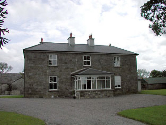 Sawyerswood Housefarm house · 966 yd
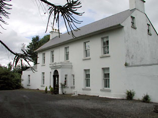 Salisbury Househouse · 1.1 mi
 Scots PineScots Pine · 1.7 mi
 Derryvullagh IslandForest · 2.0 mi
 Bawn in Townparks (athy West Urban Ed)Bawn · 2.0 mi
 Woodstock Castle (in Ruins)Castle, hall-house · 2.0 mi
 Athy War MemorialMemorial · 2.2 mi
 1798 memorialMemorial · 2.3 mi
 History of Moat of ArdscullVisitor information · 2.3 mi
 Town HallMuseum · 2.3 mi