What is recorded here
Visible as a rectangular feature with bushes on the perimeter on vertical aerial photographs (GSIAP S 377/376) and situated in the valley of a small NW-SE stream that joins the W-E Aughnaglaur River c. 500m to the SSE. It was visible in 1987 as a rectangular grass-covered area (dims. 30m NW-SE; 25m NE-SW) defined by lusher vegetation (Wth 4-6m) on the moats, with a leat at W corner leading to the stream c. 30m to the SW, and an entrance causeway (Wth 5m) towards the E end of the NE moat.
The above description is derived from the published 'Archaeological Inventory of County Wexford' (Dublin: Stationery Office, 1996). In certain instances the entries have been revised and updated in the light of recent research.
Compiled by: Michael Moore
Date of upload/revision: 27 August, 2012
The monument record does not grant public access. Check the route and ask the landowner before entering private land.
- What survives
- Recorded monument
Places near here
 St. Francis WellHoly well · 65 yd
 (Site of) ChurchChurch · 563 yd
 Chapel Railway Stationrailway station · 605 yd
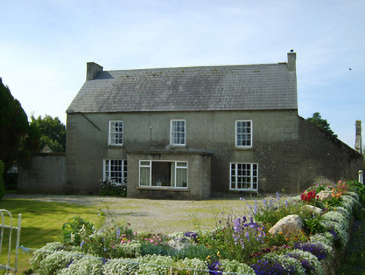 Clonroche Housefarm house · 1.1 mi
 (Site of) CastleCastle, unclassified · 2.1 mi
 Raheennahoon HillMountain / peak · 2.3 mi
 Carrickmastia HillMountain / peak · 2.3 mi
 Castle (in ruins)Castle, tower house · 2.4 mi
 Glenour MonumentMemorial · 3.1 mi
 Dick Joynt MemorialMemorial · 4.0 mi
 Silver WattleSilver Wattle · 8.6 mi
 Coolcliffe HouseRuins · 9.6 mi