
What is recorded here
Marked on the 1839 and 1925 eds of the OS 6-inch map and described in gothic lettering on both as ‘St Francis’s Well. It is located towards the bottom of a S-facing slope and on the E side of a NNE-SSW road. This is the source of a small NW-SE stream that runs off to the SE and joins the W-E Aughnaglaur River c. 600m to the SSE. The well is a circular feature (int. diam. 1.45m) defined by a masonry wall (T 0.45m; ext. H 0.7m on the roadside to 1.75m in the stream). There is a gate at the W side and steps leading down to the water, but there is no evidence of veneration. The church of Chapel parish (WX031-001001-) is c. 470m to the NNE, and moated site (WX031-003----) is c. 60m to the SE.
Compiled by: Michael Moore
Date of upload: 27 August, 2012
St. Francis Well is associated with St. Francis of Assisi, a 13th-century Italian saint known for his devotion to nature and the poor. The well may have been a site of pilgrimage or prayer, reflecting the saint’s widespread veneration in Ireland, particularly among Catholic communities in the 18th and 19th centuries.
The monument record does not grant public access. Check the route and ask the landowner before entering private land.
- What survives
- Recorded monument
Places near here
 (Site of) ChurchChurch · 541 yd
 Chapel Railway Stationrailway station · 633 yd
 Embanked enclosureFairy fort / earthen ringfort · 827 yd
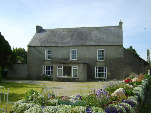 Clonroche Housefarm house · 1.1 mi
 (Site of) CastleCastle, unclassified · 2.2 mi
 Raheennahoon HillMountain / peak · 2.3 mi
 Carrickmastia HillMountain / peak · 2.3 mi
 Castle (in ruins)Castle, tower house · 2.4 mi
 Glenour MonumentMemorial · 3.1 mi
 Dick Joynt MemorialMemorial · 4.1 mi
 Silver WattleSilver Wattle · 8.5 mi
 Coolcliffe HouseRuins · 9.6 mi
Other information
Photo: Credit not shown in the picture search · Rights wording not checked; contact us if this picture should be removed