What is recorded here
Situated on low-lying poorly drained land with higher ground to the NE. Square shaped area (diam 38m N-S) defined by a scarp (H 2m), wide flat bottomed fosse (Wth 3m; ext. H 1m) with possible ramped entrance (Wth 3m) at E, with no evidence of an external bank. The site is not marked on the first two editions of the six inch maps which makes classification tentative. Its shape and location indicate that it is a moated site.
The above description is derived from the published 'Archaeological Inventory of County Offaly' (Dublin: Stationery Office, 1997). In certain instances the entries have been revised and updated in the light of recent research.
Date of upload: 23 May 2011
The monument record does not grant public access. Check the route and ask the landowner before entering private land.
- What survives
- Recorded monument
Places near here
 Church (Site of)Church · 807 yd
 Enclosure in Glebe (garrycastle By., Doon Ed)Enclosure · 851 yd
 OutlinedCastle, unclassified · 852 yd
 Bawn in Lackagh MoreBawn · 1077 yd
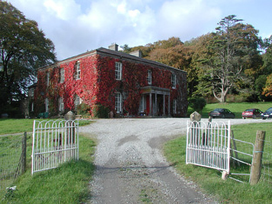 The Dooncountry house · 1727 yd
 RoadRoad, class 3 togher · 1.6 mi
 Endrim HillMountain / peak · 2.4 mi
 European ashEuropean ash · 2.6 mi
 Ballylin Bog BoardwalkHeritage attraction · 3.4 mi
 Saint Reaghan's WellSpring · 3.8 mi
 Long IslandIsland · 5.4 mi
 Cocta HillMountain / peak · 5.7 mi