What is recorded here
Located on a broad plateau. This is a rectangular grass-covered area (dims. 42.5m E-W; 41m N-S) defined by an eroded bank (Wth 6.5-8.5m; int. H 0.1-0.6m; ext. H 0.4-0.8m) with slightly raised corners at NE and NW, and an outer fosse (Wth of top 8-9m; Wth of base 3m-4.5; D 0.1m) at W and N. A wall (L 4.5m E-W; T 1.25m; H 1.5m) on the inner face of the bank at N, with a recess on the N side, may be the remains of a gateway or of a castle.
The above description is derived from the published 'Archaeological Inventory of County Waterford' (Dublin: Stationery Office, 1999). In certain instances the entries have been revised and updated in the light of recent research.
Revised by: Michael Moore
Date of upload: 07 October 2011
The monument record does not grant public access. Check the route and ask the landowner before entering private land.
- What survives
- Recorded monument
Places near here
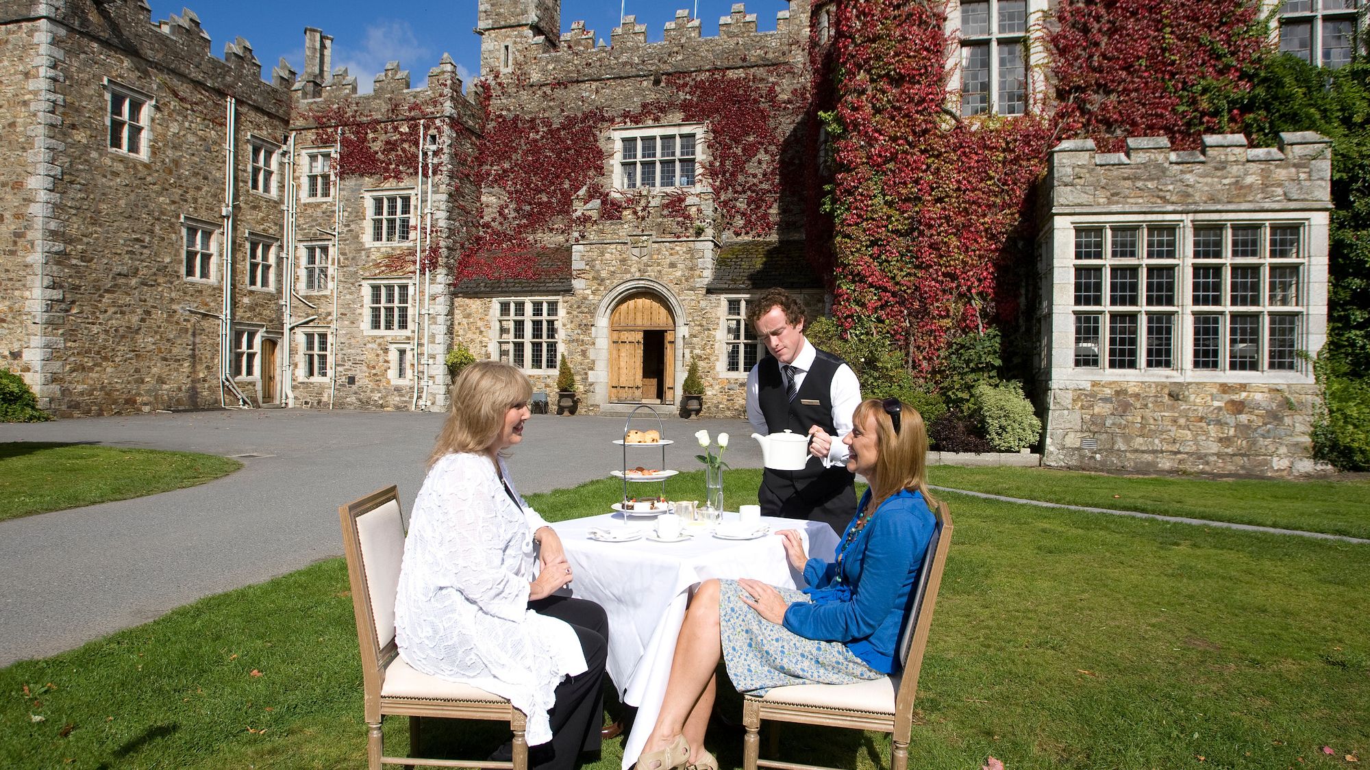 Castle Miles (in ruins)Castle, unclassified · 38 yd
 CastleCastle, unclassified · 460 yd
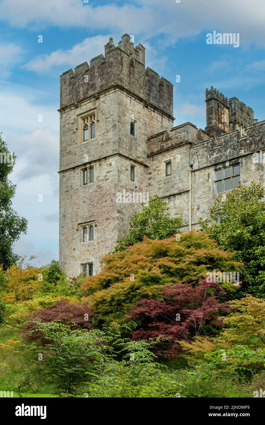 Embanked enclosureFairy fort / earthen ringfort · 592 yd
 Fulacht fia in Cornaveigh (imokilly By., Ardagh Par.)Fulacht fia · 970 yd
 Tuck MillMill, fulling · 1293 yd
 milestone/milepostmilestone/milepost · 1356 yd
 European ashEuropean ash · 1.3 mi
 Molana AbbeyHeritage attraction · 1.4 mi
 Ringcrew WoodForest · 1.7 mi
 St Bridget's WellSpring · 2.1 mi
 Youghal Foxhole Loop walkWalking route · 2.6 mi
 Collegiate Church of Saint MaryHeritage attraction · 3.2 mi