What is recorded here
An aerial photograph (GB89.AA.15) shows the cropmark of a rectilinear enclosure defined by a fosse, possibly a medieval moated site, with a rectilinear annexe on the western side. Faint traces of internal detail. Adjoining boundaries suggest an associated field system (TS075-080001-).
Compiled by: Jean Farrelly
Date of upload: 26 August 2011
The monument record does not grant public access. Check the route and ask the landowner before entering private land.
- What survives
- Recorded monument
Places near here
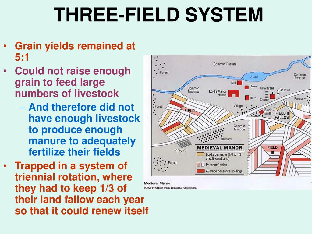 Field system in Caherabbey LowerField system · 106 yd
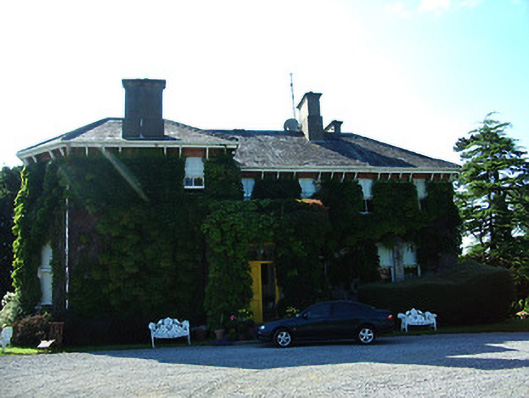 Altavillahouse · 712 yd
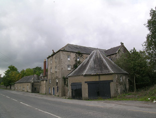 Suir Millsmill (water) · 764 yd
 IndicatedFairy fort / earthen ringfort · 789 yd
 Caher AbbeyHeritage attraction · 1023 yd
 Siege of Cahir Castlesiege · 1392 ydCahir CastleHeritage attraction · 1613 yd
 Site of CastleCastle, unclassified · 1.0 mi
 Bawn in CloghabreedyBawn · 1.2 mi
 Pedunculate OakPedunculate Oak · 1.8 mi
 European YewEuropean Yew · 2.1 mi
 Slieveanard NE TopMountain / peak · 2.9 mi