What is recorded here
Located in a SW-NE valley with a stream c. 50m to the N. A subrectangular cropmark feature (dims. c. 40m x c. 40m) is visible on vertical aerial photographs (GSIAP S 379/378). It is not visible at ground level in pasture, but a rectangular cropmark is faintly visible on an OSI series of aerial photographs (2000). It may be a moated site.
The monument record does not grant public access. Check the route and ask the landowner before entering private land.
- What survives
- Recorded monument
Places near here
 Embanked enclosureFairy fort / earthen ringfort · 618 yd
 Carrickmastia HillMountain / peak · 762 yd
 IndicatedFairy fort / earthen ringfort · 1223 yd
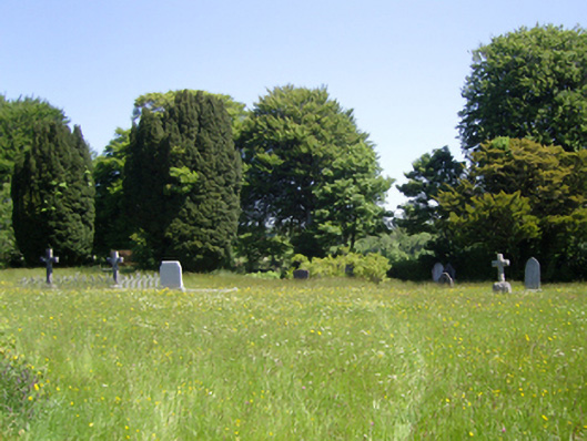 Saint Peter's Church (Adamstown)graveyard/cemetery · 1.3 mi
 Castle (in ruins)Castle, tower house · 1.8 mi
 Palace East Junction Railway Stationrailway station · 1.9 mi
 Glenour MonumentMemorial · 2.4 mi
 (Site of) Doonoonen CastleCastle, motte · 3.4 mi
 Camaross HillMountain / peak · 3.4 mi
 1798 RebellionMemorial · 5.2 mi
 Coolcliffe HouseRuins · 8.5 mi
 High HillForest · 17 mi