What is recorded here
In level tillage. Visible on two aerial photographs (CUCAP AVM 14 (1968)) and CUCAP BDO 45 (1970)) as the cropmark of a narrow fosse enclosing a rectangular area (est. c. 50m N-S; c. 40m W-E), possibly a moated site. No visible surface trace survives. A second levelled enclosure (KD035-035----) c. 40m to the ESE is also visible on the aerial photographs.
Compiled by: Gearóid Conroy
Date of upload: 20 December 2013
The monument record does not grant public access. Check the route and ask the landowner before entering private land.
- What survives
- Recorded monument
Places near here
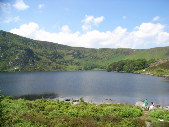 IndicatedEnclosure · 67 yd
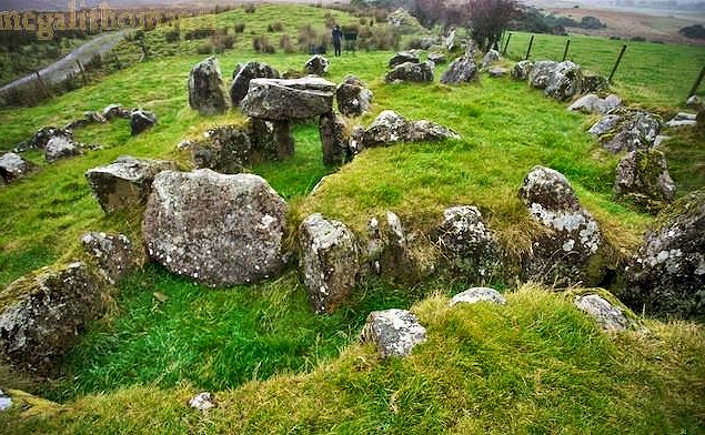 Enclosure in Nicholastown (grangemellon Ed)Enclosure · 640 yd
 Whitechurch (in Ruins)Church · 1224 yd
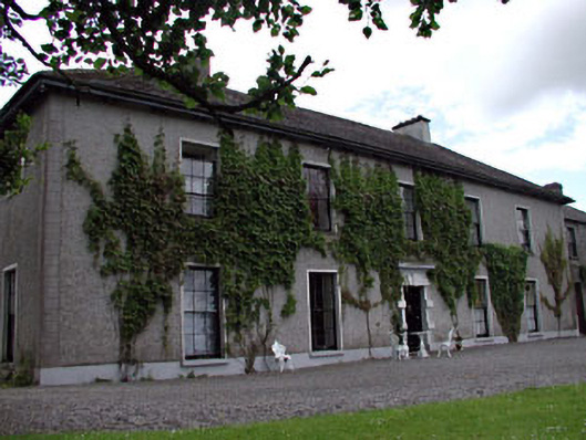 Leinster Lodgehunting/fishing lodge · 1.1 mi
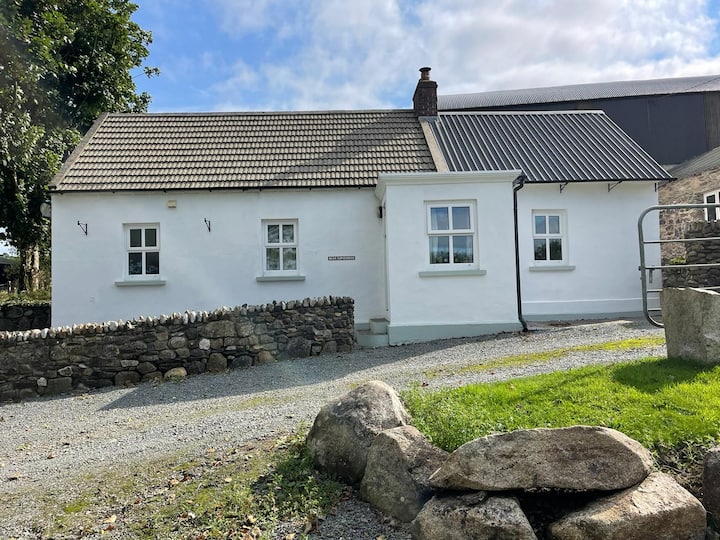 Ballycullane WoodForest · 1.2 mi
 Inch CastleCastle, tower house · 1.3 mi
 Irishtown WoodWood · 1.5 mi
 .Site of St. Legers CastleCastle, unclassified · 2.4 mi
 Gorden Bennet Race memorialMemorial · 3.0 mi
 History of Moat of ArdscullVisitor information · 3.0 mi
 Lorcán Ó TuathailMemorial · 3.8 mi
 Castledermot Round TowerHeritage attraction · 6.1 mi