What is recorded here
In reclaimed pasture, 140m N of townland boundary with Crean. Not depicted on OSi historic maps. Identified from an examination of aerial photographs (no photo ref. in file) of the region prior to construction of the Bórd Gáis Éireann Curraleigh West-Limerick gas pipeline. Monument visible as a rectangular-shaped cropmark (dims. c. 27m N-S x 18m E-W) intersected at E by field boundary running NE-SE on OSi orthophotograph taken between 2005-12 and on Google Earth orthoimage dated 20/09/2020. Adjacent remains of an extensive field system of uncertain date visible on Google Earth orthoimages.
See attached Google Earth orthoimages
Compiled by: Fiona Rooney
Date of Upload: 28 March 2021
The monument record does not grant public access. Check the route and ask the landowner before entering private land.
- What survives
- Recorded monument
Places near here
 Concentric enclosure in BoherygeelaConcentric enclosure · 529 yd
 RoadRoad, road/trackway · 606 yd
 Burial ground in Rosstemple (coshma By., Athlacca Ed)Burial ground · 624 yd
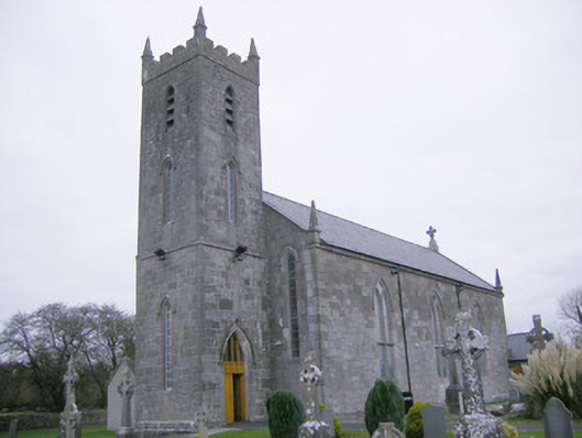 Saint Mary's Catholic Churchchurch/chapel · 1225 yd
 Bawn in Rathmore NorthBawn · 1.7 mi
 Glenogra Castle (in ruins)Castle, Anglo-Norman masonry castle · 1.8 mi
 Monasteranenagh AbbeyHeritage attraction · 2.2 mi
 Lough GurVisitor information · 3.2 mi
 European ashEuropean ash · 3.9 mi
 Banoge's WellSpring · 4.4 mi
 Skool HillMountain / peak · 4.4 mi
 Biodiversity in the Maigue CatchmentVisitor information · 4.5 mi