What is recorded here
Baunogephlure holds a rectangular moated site whose wide ditch cut through an older ringfort and ring-ditch, proving it belongs later in the local sequence. Most of the place remains buried beneath the golf course, waiting for another reason to be opened. The hotel development exposed only a small portion, but that much was enough to show the moat as a deliberate boundary drawn across earlier claims.
Discovered alongside a ring-ditch (CW008-065----) and a ringfort (CW008-066----) during test excavation in advance of a hotel development (Excavation Licence No. 05E0452). Excavation of the moated site revealed a rectangular area defined by a ditch (Wth 5-6m) which cut both the ringfort (CW008-066----) and the ring-ditch (CW008-065----). Only a small portion was excavated, the rest was preserved in-situ under the golf course. (Stafford 2008, 20)
Reference:
Stafford, E. 2008 Baunogephlure Multi-period. In I. Bennett (ed.), Excavations 2005: summary accounts of archaeological excavations in Ireland, 20 (67). Bray. Wordwell.
Compiled by: Claire Breen
Date of upload: 11 January 2012
The monument record does not grant public access. Check the route and ask the landowner before entering private land.
- What survives
- Recorded monument
Places near here
 Site of CastleCastle, unclassified · 163 yd
 Catholic Church of Saint John the Baptistchurch/chapel · 617 yd
 Church (in Ruins), GraveyardChurch · 1132 yd
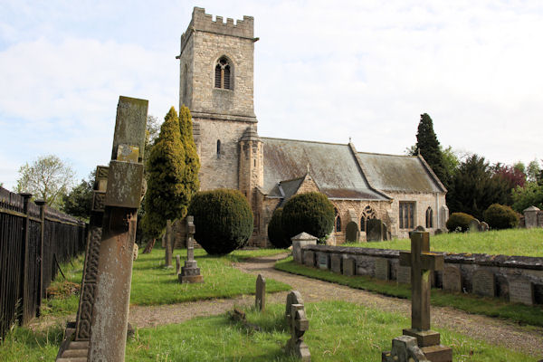 St. John the Baptists Preceptory (in Ruins)Religious house, Knights Hospitallers · 1148 yd
 Enclosure in KillerrigEnclosure · 1192 yd
 Friarstown Castle (in ruins)Castle, tower house · 1477 yd
 Ecclesiastical enclosure in FriarstownEcclesiastical enclosure · 1622 yd
 Duckett's GroveHeritage attraction · 1.7 mi
 Cork oakCork oak · 2.4 mi
 Church (in ruins), Cross, GraveyardChurch · 2.4 mi
 European YewEuropean Yew · 2.7 mi
 Brownshill Portal TombVisitor information · 3.5 mi