What is recorded here
In level pasture. Remains of rectangular area (dims. 37m N-S; 26m E-W) defined by trace of levelled bank (Wth 10m; int. H 0.2m; ext. H 0.3m). Incorporated into the rest of the field as pasture. Field boundary to W removed. Identified by aerial photograph (ASIAP (37) 4, 5, 8 and 12, 3.08.1996) as a rectangular cropmark (long-axis NE-SW). Enclosure (TS070-100----) c. 46m to NE and circular enclosure (TS070-129001-) c. 50m to W.
Compiled by: Jean Farrelly
Date of upload: 26 August 2011
The monument record does not grant public access. Check the route and ask the landowner before entering private land.
- What survives
- Recorded monument
Places near here
 Enclosure in BaptistgrangeEnclosure · 66 yd
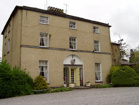 Clonacody Housecountry house · 941 yd
 Site of Old VillageSettlement deserted, medieval · 966 yd
 CastleCastle, motte · 989 yd
 Castle (in ruins)Castle, unclassified · 999 yd
 Pedunculate OakPedunculate Oak · 1033 yd
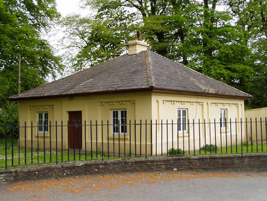 Lakefieldgate lodge · 1146 yd
 Grove WoodForest · 1.5 mi
 East GateMemorial · 2.5 mi
 Kilknockan HillMountain / peak · 3.7 mi
 CarrickbrockMountain / peak · 4.0 mi
 Enclosure in ClonacodyEnclosure · 1089 yd