What is recorded here
Power (1917, 22) refers to 'quadrangular lios' in this townland. Exact location not known.
The above description is derived from the published 'Archaeological Inventory of County Cork. Volume 2: East and South Cork' (Dublin: Stationery Office, 1994). In certain instances the entries have been revised and updated in the light of recent research.
Date of upload/revision: 14 January 2009
The monument record does not grant public access. Check the route and ask the landowner before entering private land.
- What survives
- Recorded monument
Places near here
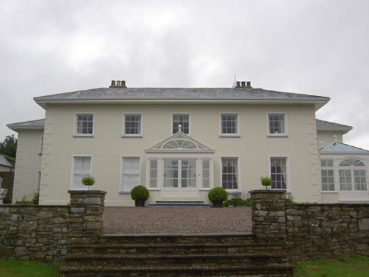 Brookvillecountry house · 658 yd
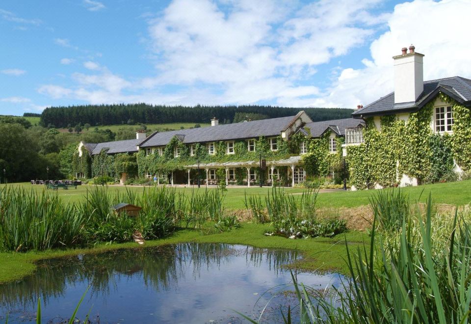 Brooklodge HouseCountry house · 789 yd
 Carberrytown WoodWood · 904 yd
 IndicatedFairy fort / earthen ringfort · 1556 yd
 Old Court (Site of)Castle, unclassified · 1675 yd
 Gleeson MemorialMemorial · 1.4 mi
 Sweathouse in Hermitage (barrymore By.)Sweathouse · 1.5 mi
 Ashbourne ParkWood · 2.1 mi
 Sarsfields Court (in Ruins)Castle, unclassified · 2.1 mi
 Thomas Kent StationMemorial · 5.3 mi
 Cork WalksVisitor information · 5.6 mi
 Quarry in BrookvilleQuarry · 1078 yd