What is recorded here
Partial cropmark of possible large moated site (approx. dims. 77m N-S) visible on Google earth aerial imagery.
See attached image taken from Google Earth aerial photograph taken 28/06/2018.
Compiled by: Caimin O'Brien based on details kindly provided by Matthew Mullen Reynolds.
Date of upload: 21 November 2019
The monument record does not grant public access. Check the route and ask the landowner before entering private land.
- What survives
- Recorded monument
Places near here
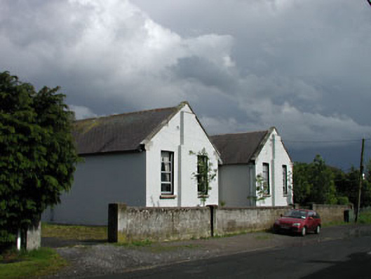 Saint Brigid's National Schoolschool · 429 yd
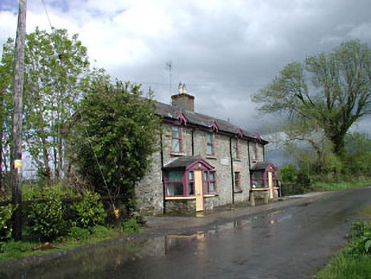 Ballysax Schoolschool · 451 yd
 Enclosure in BallyfairEnclosure · 1166 yd
 ElderElder · 1689 yd
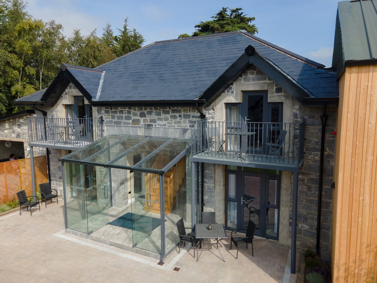 Enclosure in BallysaxhillsEnclosure · 1.2 mi
 Castle in RuinsCastle, tower house · 2.0 mi
 Tully Ho.Castle, unclassified · 3.4 mi
 Dawn RedwoodDawn Redwood · 3.4 mi
 Japanese GardensHeritage attraction · 3.4 mi
 Irish National Stud and Japanese GardensHeritage attraction · 3.4 mi
 Battle of Kilrushbattle · 4.6 mi
 Bithia Mary CrokerMemorial · 9.7 mi