
What is recorded here
Visible in tillage on a 1969 aerial photograph (CUCAP AYN 8) as the cropmark of a circular enclosure (est. diam. c. 30m). Also faintly visible in tillage on a 2010 OSi Orthophoto.
Compiled by: Gearóid Conroy
Date of upload: 14 May 2013
A local fairy fort (ringfort/rath); wider significance not recorded.
The monument record does not grant public access. Check the route and ask the landowner before entering private land.
- What survives
- Recorded monument
Places near here
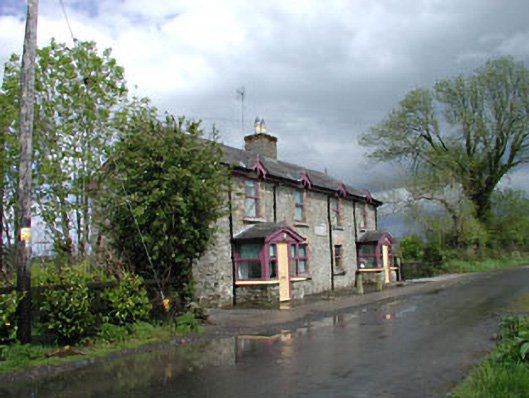 Ballysax Schoolschool · 715 yd
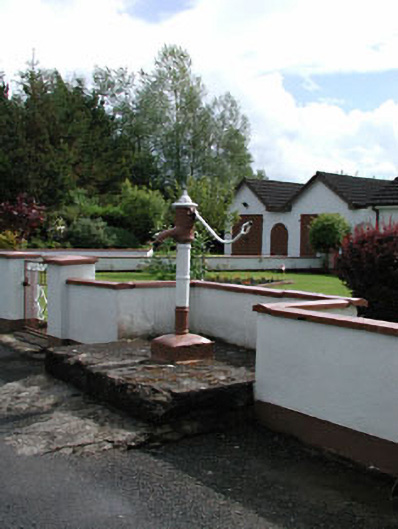 water pumpwater pump · 866 yd
 IndicatedFairy fort / earthen ringfort · 1735 yd
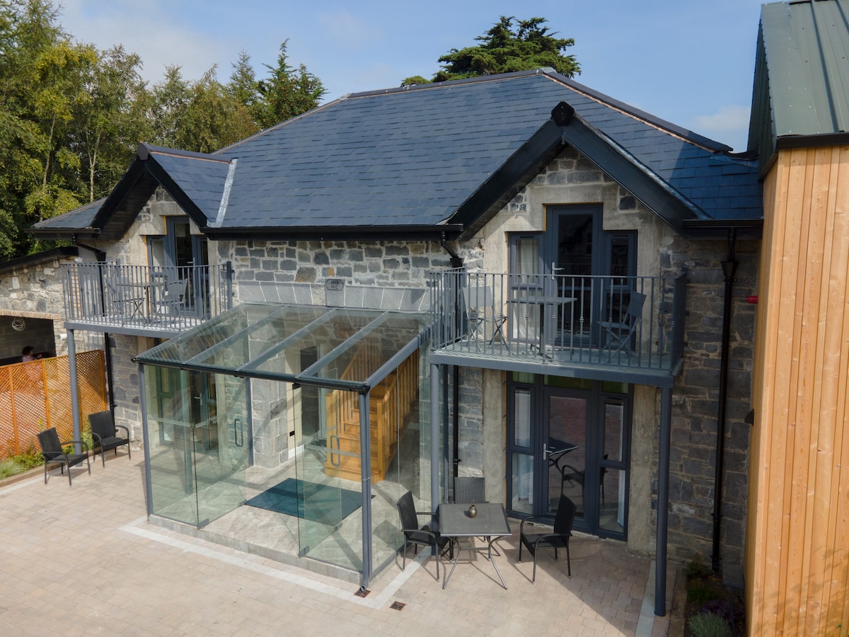 Enclosure in BallysaxhillsEnclosure · 1.5 mi
 ElderElder · 1.6 mi
 Castle in RuinsCastle, tower house · 2.0 mi
 Dawn RedwoodDawn Redwood · 3.3 mi
 Tully Ho.Castle, unclassified · 3.3 mi
 Japanese GardensHeritage attraction · 3.3 mi
 Irish National Stud and Japanese GardensHeritage attraction · 3.3 mi
 Battle of Kilrushbattle · 4.0 mi
 Bithia Mary CrokerMemorial · 9.8 mi
Other information
Photo: Credit not shown in the picture search · Rights wording not checked; contact us if this picture should be removed