What is recorded here
Approximately square area (Wth. c. 40m E-W) with a low bank at S, W and N and slight traces of a fosse. Entrance not identifiable. Situated on slight rise in pasture land. As the S limits of the monument appear to be incorporated into the border with Co. Carlow, the monument has also been designated CW003-030----.
Date of upload: 8 September 2016
The monument record does not grant public access. Check the route and ask the landowner before entering private land.
- What survives
- Recorded monument
Places near here
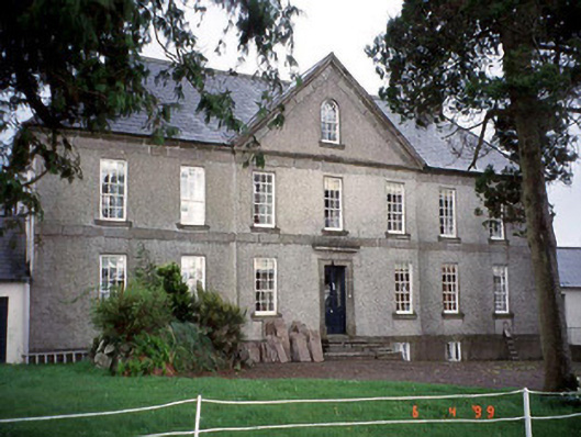 Phillipstown Manorcountry house · 1494 yd
 Enclosure in KnockfieldEnclosure · 1543 yd
 Nunnery (in Ruins)Religious house, Augustinian, of Arrouaise nuns · 1.1 mi
 Holy well in Graney EastHoly well · 1.2 mi
 CastleCastle, unclassified · 1.4 mi
 Church (in ruins), Cross, GraveyardChurch · 1.4 mi
 OutlinedCastle, unclassified · 1.8 mi
 Rahill Church (in ruins), GraveyardChurch · 2.7 mi
 Duckett's GroveHeritage attraction · 3.0 mi
 Castledermot Round TowerHeritage attraction · 3.3 mi
 Cork oakCork oak · 3.5 mi
 European YewEuropean Yew · 3.7 mi