What is recorded here
Located on a gentle W and NW-facing slope. The cropmark of a rectangular area (dims c. 35m NE-SW; c. 32m NW-SE) defined by straight fosses or moats (Wth c. 1-4m) is visible on Google Earth (14/07/2018). It was first reported by Simon Dowling.
See the attached enhanced view from Google Earth
Compiled by: Michael Moore
Date of upload; 5 March 2020
The monument record does not grant public access. Check the route and ask the landowner before entering private land.
- What survives
- Recorded monument
Places near here
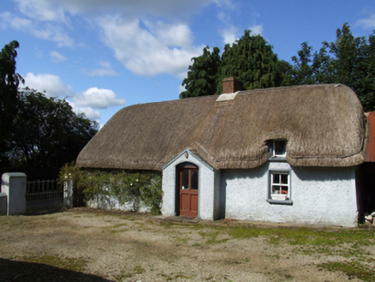 farm housefarm house · 783 yd
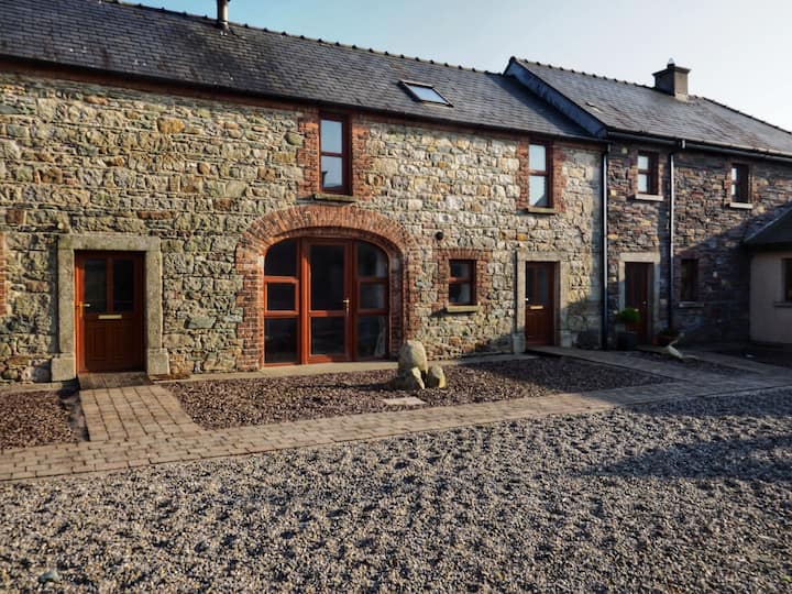 Hearth in BallydawmoreHearth · 929 yd
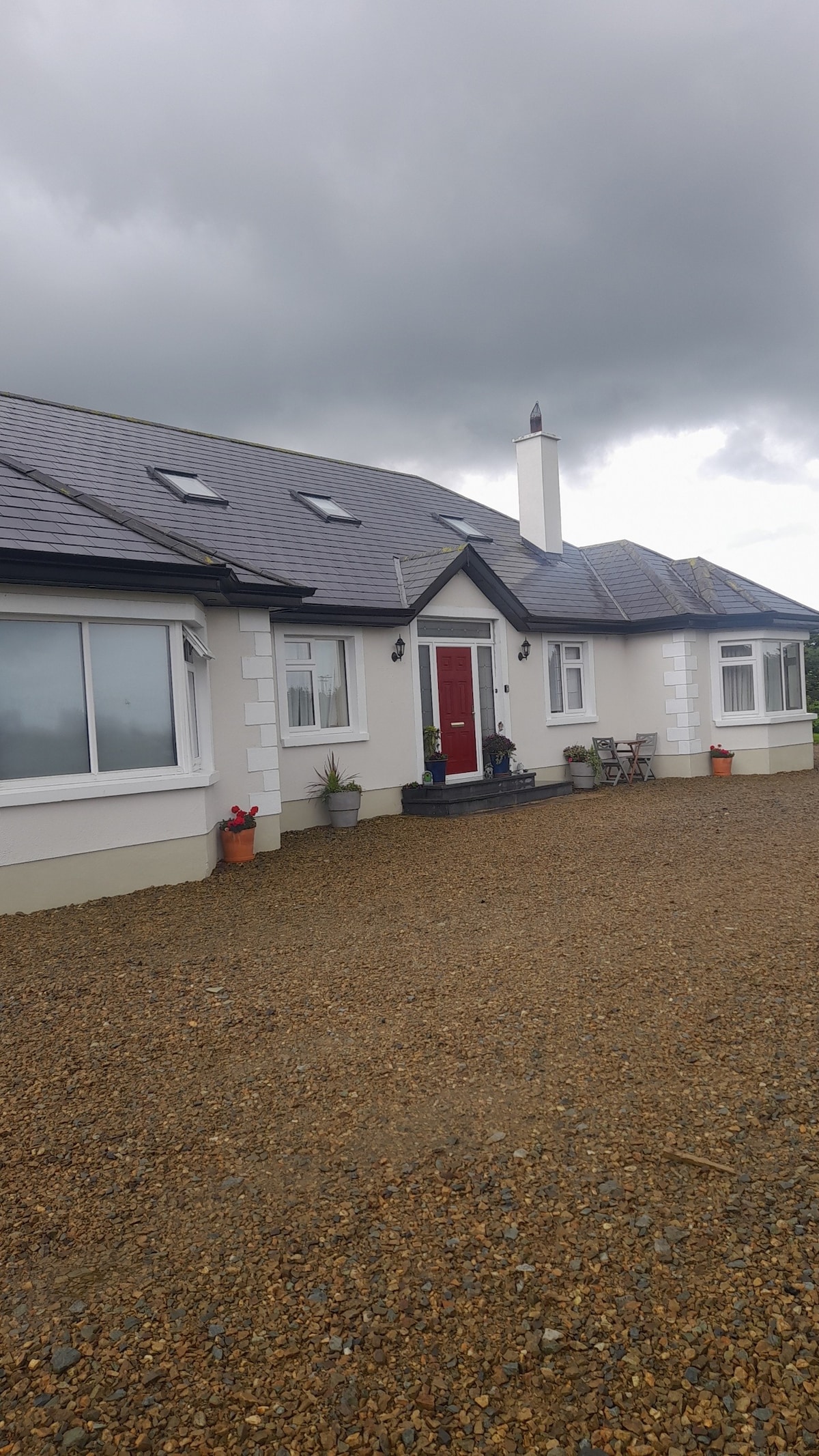 Fulacht fia in BallydawmoreFulacht fia · 943 yd
 KilnKiln, corn-drying · 1128 yd
 Embanked enclosureCastle, motte · 1.6 mi
 Battle of Vinegar HillMajor battlefield · 3.3 mi
 U.N. Peace MemorialMonument · 3.3 mi
 Duffry GateMemorial · 3.3 mi
 National 1798 CentreMuseum · 3.4 mi
 Daphney CastleCastle, unclassified · 4.6 mi
 Pedunculate OakPedunculate Oak · 7.2 mi
 European LarchEuropean Larch · 8.1 mi