What is recorded here
Square fort (33m by 33m) defined by earthen bank (H. 1m) and ditch (W.2.40m, D. 2.40m) described in this townland by the Ordnance Survey Letters of 1838-40 (O'Flanagan 1928, 120). Site not located.
Date of upload: 19 October 2012
The monument record does not grant public access. Check the route and ask the landowner before entering private land.
- What survives
- Recorded monument
Places near here
 Carrick MountainMountain / peak · 1435 yd
 IndicatedEnclosure · 1560 yd
 Enclosure in BallardbegEnclosure · 1.3 mi
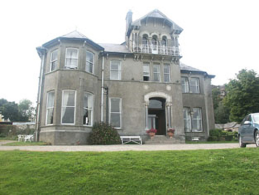 Bel-Air Hotelcountry house · 1.4 mi
 Ch. (in Ruins), Grave YardChurch · 1.4 mi
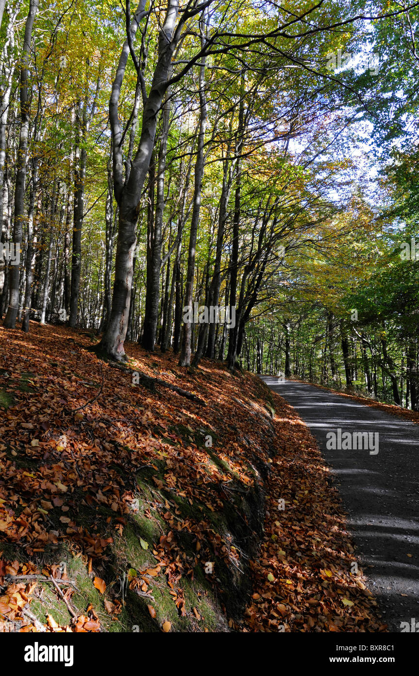 Devil's Glen WoodForest · 1.9 mi
 CastleCastle, unclassified · 1.9 mi
 European YewEuropean Yew · 2.0 mi
 Devil's Glen WaterfallWaterfall · 2.9 mi
 BallinastrawMountain / peak · 3.1 mi
 Workers GreenMemorial · 3.4 mi
 Castle in ruinsCastle, tower house · 3.9 mi