What is recorded here
In pasture, atop gentle rise on gradually undulating terrain. Monument, depicted as a rectangular enclosure (c. 60m N-S; c. 50m E-W) on 1923 OS 6-inch map has been levelled and there is now no evident surface trace of it.
Compiled by: Denis Power
Date of upload: 26 August 2011
The monument record does not grant public access. Check the route and ask the landowner before entering private land.
- What survives
- Recorded monument
Places near here
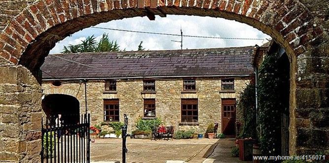 Enclosure in BrureeEnclosure · 1135 yd
 OutlinedHillfort · 1356 yd
 San Giovannihouse · 1396 yd
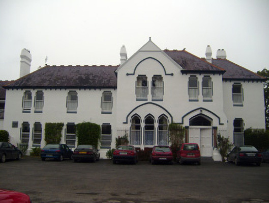 Cuan Mhuirecountry house · 1576 yd
 Site of CastleCastle, unclassified · 1749 yd
 Bruree Castle Upper (ruins)Castle · 1.2 mi
 King John's CastleCastle · 2.8 mi
 Lady's WellSpring · 3.6 mi
 ToberSpring · 3.6 mi
 Holy Cross CemeteryGraveyard · 4.6 mi
 Ballinvreena LoopVisitor information · 8.7 mi
 Flat cemetery in Knockainy WestFlat cemetery · 8.7 mi