What is recorded here
In tillage field, situated on a SE-facing slope of low N-S ridge in undulating countryside with good views in all directions. Only the S half of the rectangular enclosure survives intact consisting of a rectangular-shaped area (approx. int. dims. 21m N-S; 29m E-W) enclosed by an earth and stone bank (top Wth 1.8m; base Wth 3.5m; ext. H 0.9m; int. H 0.3m) visible from NE through S to NW only and levelled elsewhere. Unlike a moated site in its siting, lack of rounded corners and absence of surrounding wet or dry moat. Field boundary intersecting W side of monument no longer present and has been subsequently removed. Depicted as a small rectangular enclosure on 1st (1840) ed. OS 6-inch map.
Compiled by: Jean Farrelly
Date of upload: 26 August 2011
The monument record does not grant public access. Check the route and ask the landowner before entering private land.
- What survives
- Recorded monument
Places near here
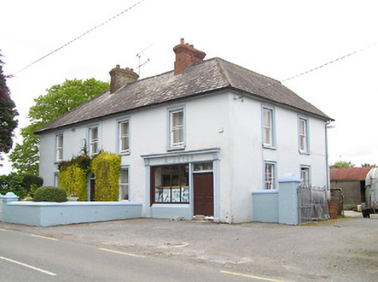 M. Dwyerhouse · 359 yd
 Church in RuinsChurch · 385 yd
 IndicatedFairy fort / earthen ringfort · 1159 yd
 Ballinure HillMountain / peak · 1243 yd
 Taylor's WoodWood · 1279 yd
 Noan WoodWood · 1386 yd
 Hilltop enclosure in Ballaghboy (graystown Par.)Hilltop enclosure · 1.1 mi
 Bawn in ErryBawn · 1.9 mi
 Castle in RuinsCastle, motte and bailey · 2.0 mi
 Gobban Saer's GraveArchaeological place · 2.8 mi
 Horse and JockeyVisitor information · 3.2 mi
 Gift Horse GalleryGallery · 3.5 mi