What is recorded here
In improved pasture, on the edge of a precipice with a small valley to the E, located within the NW angle of a large enclosure (TS058-081----), both being visible on an aerial photograph (ASIAP(303) 3-4, 13.09.2002). An enclosure (TS058-080001-) immediately N of the moated site shares the intervening fosse. A rectangular area (dims. 32m E-W; 26m N-S) defined by the remains of a low earthen bank (overall Wth 6.75m; Wth at top 2.8m; int. H 0.2m; ext. H 0.45m) to N (L 26m) and S (L 26m) which has been reduced to scarp (Wth 2.7m; H 0.6m) to the E (L 26m) and W (L 22m). A shallow fosse is visible to W (overall Wth 6.1m; basal Wth 2.75m; D 0.1m) and N (overall Wth 5.9m; basal Wth 2.2m; D 0.2m). The fosse along the N side continues NE of the monument, down the precipice slope and appears to truncate the enclosing elements of the large enclosure. The interior slopes down gently to the E. Immediately E of the moated side, the NE angle of the large enclosure appears to be internally divided to create a D-shaped area (dims. 26m N-S; 23.5m E-W) defined by the curvilinear scarp (Wth 3.5m; H 0.75m) of the large enclosure from N-E-SE and by a levelled linear scarp (long axis E-W) (L 8m) and fosse (Wth 4.75m; D 0.18m) to S. The interior of this D-shaped area slopes gently to the E.
Compiled by: Jean Farrelly
Date of upload: 26 August 2011
The monument record does not grant public access. Check the route and ask the landowner before entering private land.
- What survives
- Recorded monument
Places near here
 CastleCastle, ringwork · 1157 yd
 Site of ChurchChurch · 1384 yd
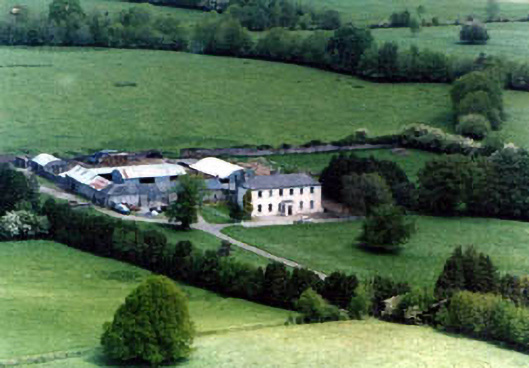 Ballinardhouse · 1640 yd
 IndicatedEnclosure · 1645 yd
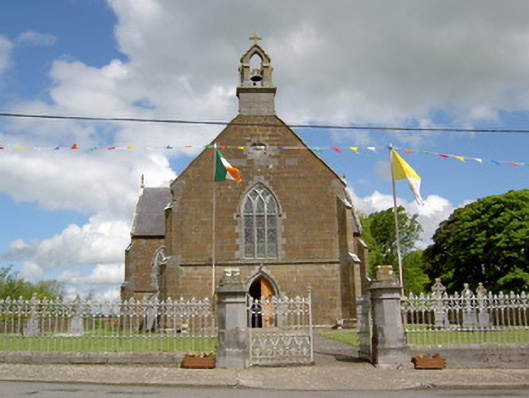 Catholic Church of the Assumptionchurch/chapel · 1.4 mi
 Site of Castle LoaghnyCastle, unclassified · 1.5 mi
 Oola HillMountain / peak · 3.0 mi
 SlievenamuckMountain / peak · 4.6 mi
 Carn (site of)Cairn, burial cairn · 4.6 mi
 Bansha ForestForest · 5.1 mi
 St Patrick's WellSpring · 6.8 mi
 Saint Patrick's WellSpring · 7.0 mi