What is recorded here
Situated on a small hillock, surrounded by gently undulating grassland. Bog visible 700m from SW-NW. Ringfort (WM003-088---) 190m to SSE. The field fence which forms the townland boundary with Mayne curves around the E edge of the monument. No surface remains of this levelled monument. Depicted as a rectangular shaped earthwork with limekiln immediately to E on the 1837 ed. OS 6-inch map. Faint outline of levelled monument visible on Digital Globe aerial photograph taken November 2011. Outline of monument depicted on an estate map dating from 1781 (MS 21 F. 48 / (006)).
Compiled by: Frank Coyne and Caimin O'Brien
Date of upload: 25 May 2017
The monument record does not grant public access. Check the route and ask the landowner before entering private land.
- What survives
- Recorded monument
Places near here
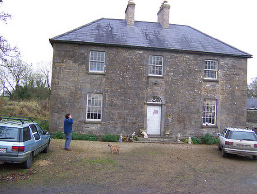 Simonstown Househouse · 916 yd
 Ecclesiastical enclosure in MayneEcclesiastical enclosure · 1026 yd
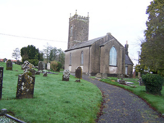 Saint Nicholas's Church (Mayne)church/chapel · 1038 yd
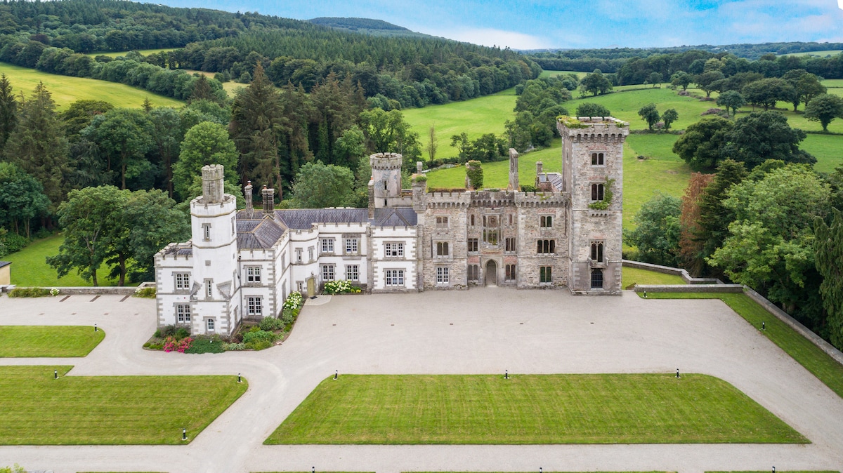 CastleCastle, tower house · 1751 yd
 OutlinedFairy fort / earthen ringfort · 1.0 mi
 Turbotstown Ho.Castle, unclassified · 1.5 mi
 European BeechEuropean Beech · 2.1 mi
 Pedunculate OakPedunculate Oak · 2.3 mi
 Rock of CurryCliff · 3.9 mi
 Bridge Memorial (Kenna)Memorial · 4.0 mi
 Mullaghmeen ForestPicnic place · 6.2 mi
 Mullaghmeen Red WalkWalking route · 6.3 mi