What is recorded here
In relatively flat, marshy ground on the wet floor of a small valley. Several small streams run from N and W to converge at the monument. Rectangular area (int. dims. 54mx 45m) aligned E-W, enclosed by a bank (int. H 0.8m; ext. H 1.5m; overall Wth 2m) a waterlogged intervening fosse (Wth 2m) and outer bank (int. H 1.3m; ext. H 0.8m; Wth 3m). There is no visible entrance. The N half of the interior is raised slightly above the S half and divided from it by a small, wet gully. The wet fosse is fed by the channelling of two small streams.
Compiled by: Jean Farrelly
Date of upload: 21 November 2014
The monument record does not grant public access. Check the route and ask the landowner before entering private land.
- What survives
- Recorded monument
Places near here
 IndicatedHoly well · 251 yd
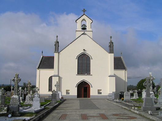 Saint Patrick's Catholic Churchchurch/chapel · 1.0 mi
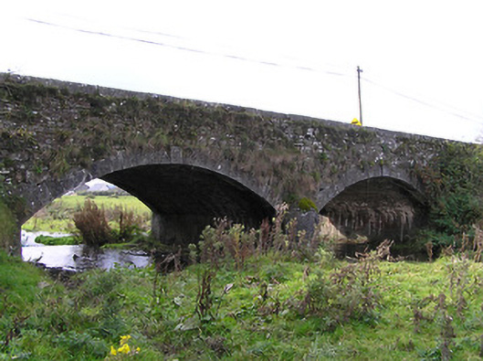 Clogh Bridgebridge · 1.2 mi
 Enclosure in Aughatubbrid OR ChatsworthEnclosure · 1.3 mi
 CastleCastle, unclassified · 1.4 mi
 European ashEuropean ash · 3.5 mi
 Moat Castle in ruinsCastle, unclassified · 3.8 mi
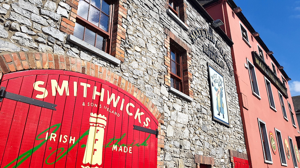 Glenmullen WoodWood · 3.9 mi
 Ardra LoopWalking route · 4.0 mi
 Kilgorey Old BurialVisitor information · 4.0 mi
 Castlecomer Discovery ParkHeritage attraction · 4.5 mi
 Footprints In CoalMuseum · 4.5 mi